Adelaide (Light’s Plan)
Core idea
Grid ringed by parklands
Why it matters
Enduring green belt around a grid city
Description
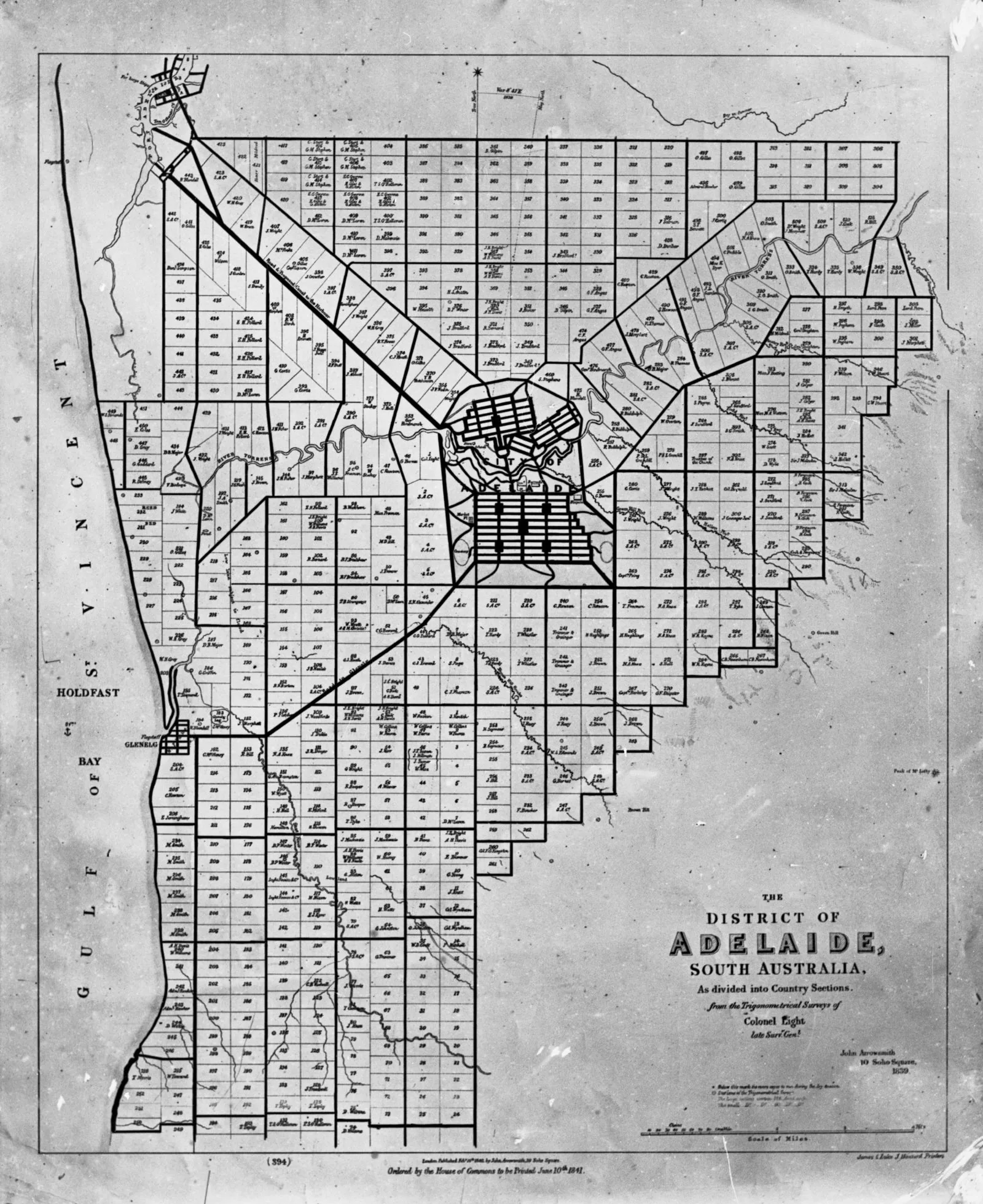
Colonel William Light's 1837 plan for Adelaide set a gridded city centre and a separate gridded suburb of North Adelaide, each ringed entirely by a continuous belt of public parkland, with the river between them — one of the first cities designed with a complete green belt from the outset.
Significance
Adelaide's Light's Plan is a pioneering model of the city framed by permanent public open space, anticipating the green belt and garden-city ideals by decades. It remains one of the most admired colonial-era plans for its clarity and generosity.
What became of it
Light's grid-and-parklands design was surveyed in roughly eight weeks in 1837 and implemented largely as drawn; the layout and continuous Park Lands belt survive and are now a National Heritage listing.
Critique
Critics observe the generous parklands later came under recurring development pressure that has eroded portions of Light's original green belt.
What shaped it
- The grid (c. 2500 BCE)
- The British Empire and modern colonialism (1600 – 20th c.)
- The Wealth of Nations (1776)
Sources
- https://adelaidia.history.sa.gov.au/panoramas/lights-plan-of-adelaide-1837
- https://en.wikipedia.org/wiki/William_Light