Amman Downtown Revitalization (Wadi Amman)
Core idea
Valley flood control + public realm
Why it matters
Topography-led urban retrofit
Description
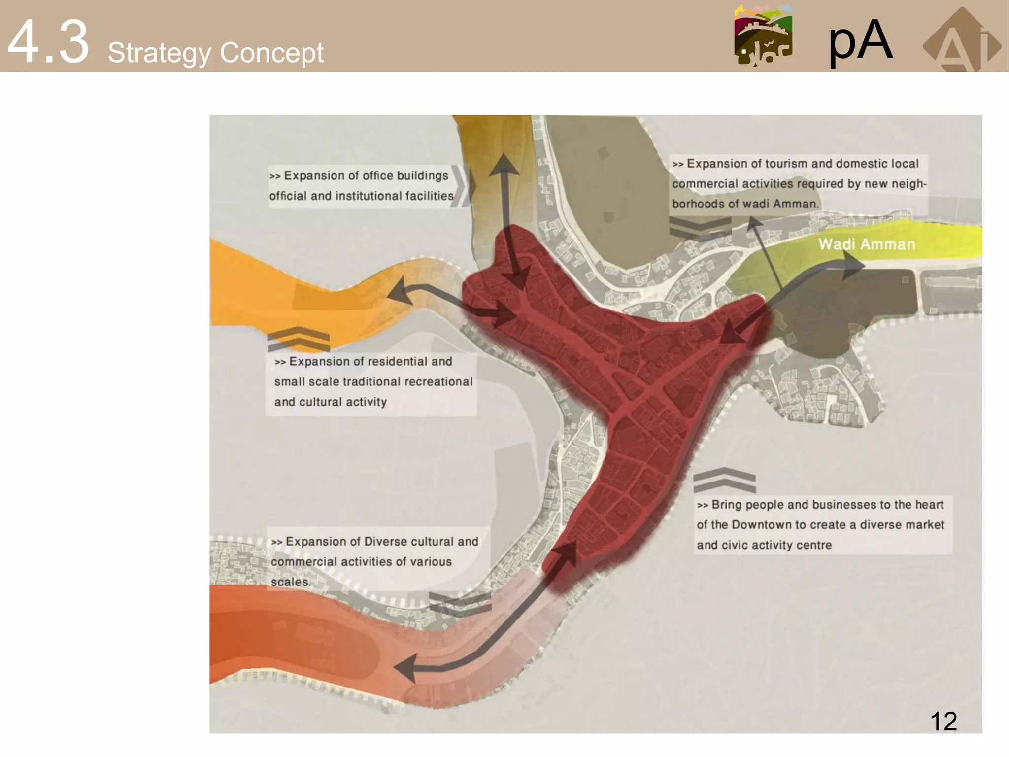
The Amman Downtown Revitalization, associated with the Wadi Amman planning work of the Greater Amman Municipality in the 2010s, addresses the historic valley core of the Jordanian capital. Because the downtown occupies a wadi floor prone to flash flooding, the plan couples flood-control and drainage infrastructure with public realm improvements, street upgrading and support for the traditional commercial fabric along the valley.
Significance
The project is significant as a topography-led retrofit, treating Amman's dramatic wadi-and-hill landform as the organising structure for regeneration rather than an obstacle. It reflects a broader turn in Middle Eastern city planning towards resilience and public space in historic cores, alongside the mega-project developments of the 2000s such as Abdali. The case is discussed in relation to climate adaptation and heritage-sensitive renewal in rapidly growing Arab capitals.
What shaped it
- The Image of the City (1960)
- The public park (1843–1858)
Sources
- https://jordan.un.org/en/126197-un-habitat-jordan-launched-flood-risk-assessment-and-hazard-mapp
- https://jordantimes.com/news/local/un-habitat-jordan-launches-flood-risk-assessment-hazard-mappi