Antwerp Oosterweel & Ringpark
Core idea
Ring capping with park system
Why it matters
Health + mobility co-benefits at scale
Description
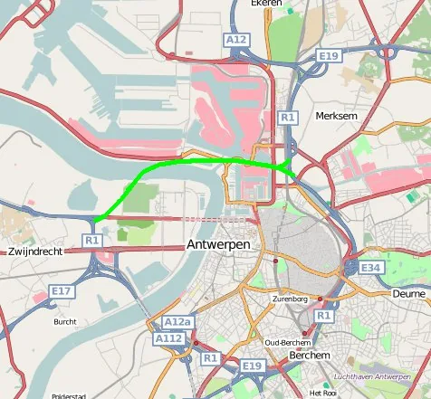
A combined infrastructure and landscape programme for Antwerp, developed from the mid-2010s by the delivery agency Lantis with the City of Antwerp, completing the ring motorway via the Oosterweel link while capping and flanking sections of the existing ring with a connected system of 'Ringparks'. The scheme emerged from the 2017 Toekomstverbond covenant between government and citizen movements, notably Ringland, which had campaigned for full coverage of the motorway. It pairs tunnels and covered sections with parks, noise reduction and new cycling connections at metropolitan scale.
Significance
The Oosterweel–Ringpark compromise is a landmark of infrastructure politics, showing citizen mobilisation reshaping one of Europe's largest motorway projects into a health- and liveability-driven landscape programme. It is widely discussed as a model for negotiated planning, motorway capping and the co-design of large infrastructure, linking Flemish practice to international debates on repairing ring-road severance.
What shaped it
- The urban freeway (mid-20th c.)
- The public park (1843–1858)
- Landscape urbanism (Waldheim) (1997-2006)
Sources
- https://www.lantis.be/projecten/de-oosterweelverbinding
- https://www.oosterweelverbinding.be/over-ons/het-toekomstverbond