Auckland Unitary Plan
Core idea
Upzoning and centers on rail
Why it matters
Bold consolidation for NZ’s largest city
Description
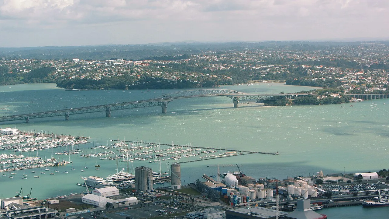
The Auckland Unitary Plan, made operative in 2016 by Auckland Council, consolidated the district and regional plans of the amalgamated 'super city' into a single statutory rulebook for New Zealand's largest metropolitan area. Its central move was widespread upzoning, enabling substantially more medium-density and terraced housing across the isthmus while concentrating growth in centres and along the rail and rapid-bus network. The plan operates at the scale of the whole Auckland region, pairing a quality compact-city strategy with a rural urban boundary.
Significance
The Unitary Plan has become one of the most closely studied upzoning experiments in the Anglophone world, with economists citing Auckland's subsequent surge in townhouse construction as evidence that broad zoning reform can lift housing supply. It marks a decisive turn in Australasian planning from restrictive suburban zoning towards metropolitan consolidation, and it continues to inform debates on density, heritage protection and housing affordability in New Zealand and beyond.
What shaped it
- The compact city (1973-1990s)
- Transit-oriented development (TOD) (1993)
- Zoning (1884 Germany / 1916 NYC)
- Floor Area Ratio (FAR/FSI) (20th c.)
Sources
- https://www.aucklandcouncil.govt.nz/en/plans-policies-bylaws-reports-projects/our-plans-strategi
- https://www.huduser.gov/portal/periodicals/cityscape/vol26num2/ch20.pdf