Bahrain National Plan 2030
Core idea
Land reclamation, TOD, heritage
Why it matters
Island-state spatial strategy
Description
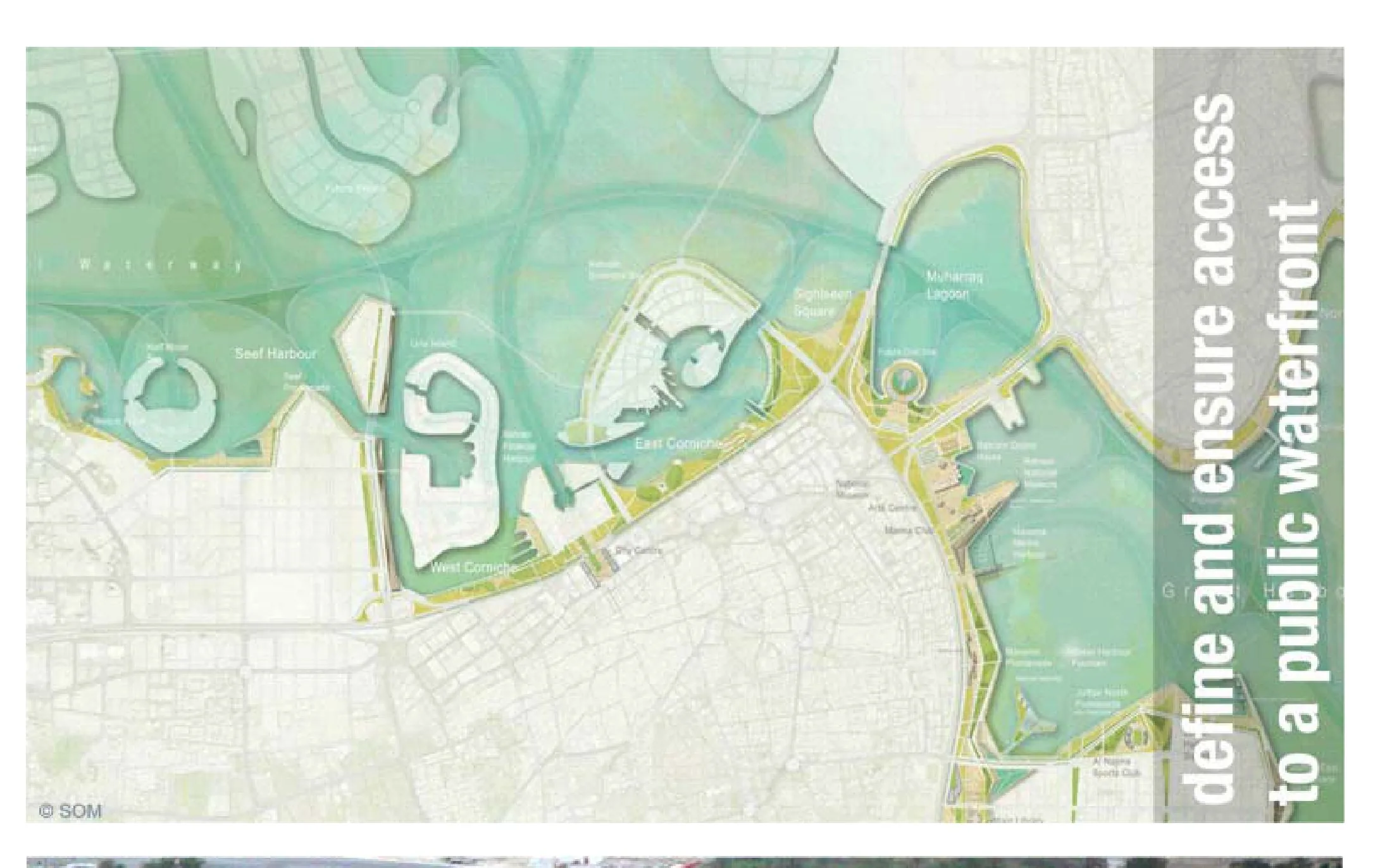
The Bahrain National Planning Development Strategy 2030, commissioned in 2008 by the Bahrain Economic Development Board with the ministry responsible for planning and prepared with international consultants, is a spatial strategy for the entire island state. It seeks to manage extensive land reclamation, direct growth towards transit-oriented corridors and centres, protect heritage areas including historic Muharraq and Manama, and coordinate infrastructure across an archipelago under intense development pressure.
Significance
The strategy is an early example of comprehensive national spatial planning in the Gulf, notable for attempting to regulate the speculative reclamation and enclave development that had characterised the region's boom years. It reflects the post-2008 turn in Gulf urbanism towards state-led strategic frameworks, and raises questions—common to the region—about the enforceability of strategy against fragmented land ownership and fast-moving private development.
What shaped it
- Transit-oriented development (TOD) (1993)
- World becomes majority urban (2007)
- Global financial crisis (2007–2009)
Sources
- https://www.som.com/projects/bahrain-national-planning-development-strategy/
- https://www.bahrainedb.com/about-us/national-development-strategy
- https://www.bahrain.bh/bahrain2030