Bengaluru Peripheral Ring Road & STRR
Core idea
Orbital growth & logistics
Why it matters
Reframes land markets around ring roads
Description
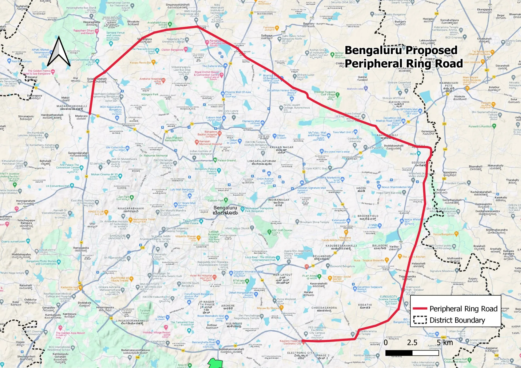
A pair of orbital highway projects for the Bengaluru metropolitan region promoted from the 2010s by the Government of Karnataka and the National Highways Authority of India: the Peripheral Ring Road around the city's edge and the wider Satellite Town Ring Road linking outlying towns. The projects are conceived as infrastructure for logistics, industrial development and traffic relief, and are accompanied by expectations of large-scale land conversion and township development along their alignments.
Significance
The ring roads exemplify the infrastructure-led, land-market-driven mode of metropolitan growth characteristic of contemporary Indian urbanisation, in which orbital corridors reframe agricultural land as urban real estate in advance of any comprehensive plan. They have generated protracted disputes over land acquisition and environmental impact, and are widely discussed as a test of whether corridor infrastructure can structure orderly polycentric growth or merely accelerate speculative sprawl.
What shaped it
- The master plan (early 20th c.)
- Transit-oriented development (TOD) (1993)
- World becomes majority urban (2007)
Sources
- https://en.wikipedia.org/wiki/Satellite_Town_Ring_Road
- https://citizenmatters.in/bengaluru-ring-roads-prr-irr-strr/