Brisbane CityShape 2026 / Brisbane City Plan 2014
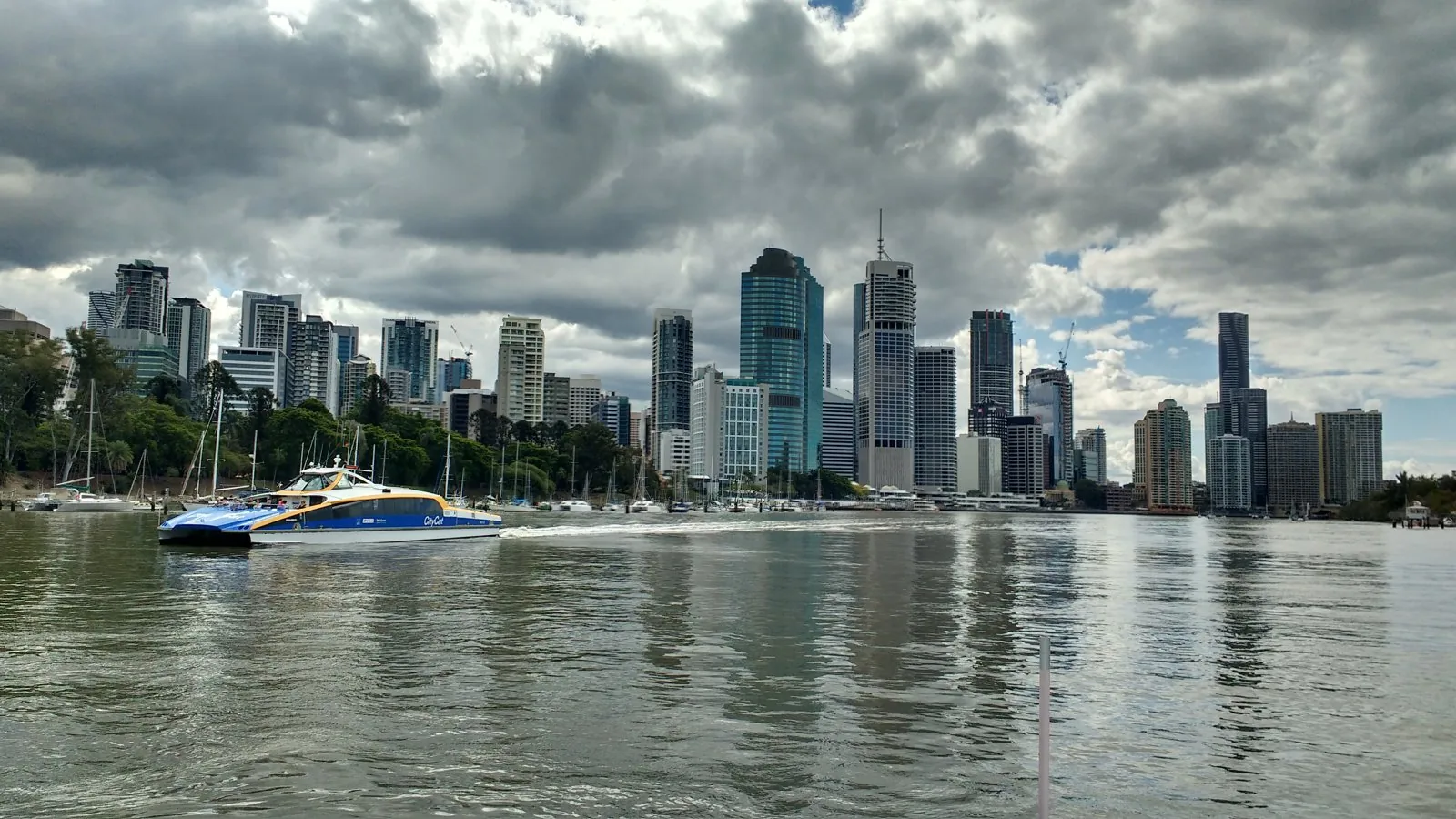
Core idea
Nodes, corridors, river city strategy
Why it matters
Frames growth around transit & river
Description
Brisbane's CityShape 2026 strategy (2007) and the subsequent Brisbane City Plan 2014, prepared by Brisbane City Council, set a growth framework for Australia's largest local-government city. The plans direct development towards a network of centres and growth corridors, promote higher densities around public transport, and position the Brisbane River as the organising element of a 'river city' identity, while managing suburban character areas and flood risk.
Significance
The Brisbane plans illustrate how Australian cities adapted metropolitan-scale thinking to a single, unusually large municipal authority, framing growth through nodes, corridors and riverfront renewal rather than outward expansion alone. They contributed to the wider Australian shift towards polycentric consolidation and transit-linked density, and inform ongoing debates about subtropical urbanism, flood resilience and the pace of infill in low-density cities.
What shaped it
- Transit-oriented development (TOD) (1993)
- The compact city (1973-1990s)
- The master plan (early 20th c.)
Plans it influenced
- Adelaide 30-Year Plan for Greater Adelaide (2010/2017)
Sources
- https://www.brisbane.qld.gov.au/planning-building/planning-guidelines-tools/neighbourhood-planni
- https://cityplan.brisbane.qld.gov.au/eplan/
- https://catalogue.nla.gov.au/catalog/8046312