Bursa Master Plan
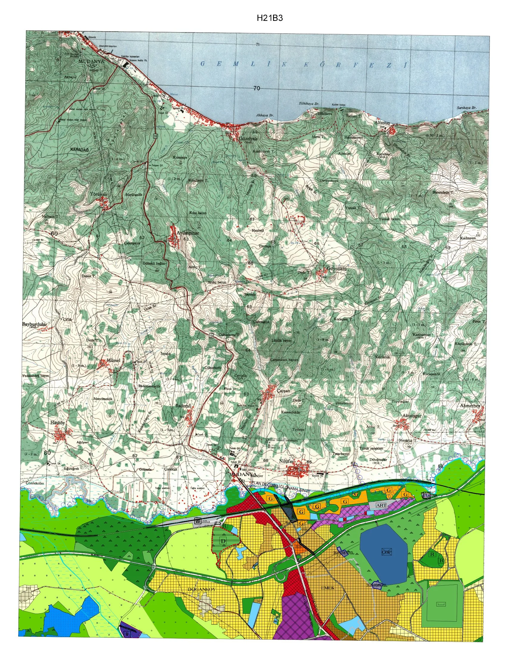
Core idea
Industrial corridors + green belts
Why it matters
Balances manufacturing and heritage
Description
A metropolitan master plan for Bursa, Turkey's historic first Ottoman capital and a major manufacturing centre, prepared by the Bursa Metropolitan Municipality in 2014. The plan organises the city-region around designated industrial corridors linked to the automotive and textile economy, while establishing green belts and agricultural buffers to contain sprawl across the fertile plain, and protecting the historic core and UNESCO-listed Ottoman ensembles. It coordinates land use and transport at the scale of the enlarged metropolitan municipality.
Significance
The plan illustrates the planning challenges of Turkey's rapidly industrialised Anatolian metropolises, where export manufacturing, migration-driven growth and significant heritage assets compete for space. Bursa's attempt to reconcile industrial corridor development with green-belt containment and conservation makes it a useful regional counterpoint to Istanbul-centred accounts of Turkish urbanism.
What shaped it
- The green belt (1898 concept / 1938 law)
- The master plan (early 20th c.)
- Bus Rapid Transit (BRT) (1974)
Sources
- https://ndimar.com.tr/portfolio-item/1-25-000-olcekli-bursa-buyuksehir-belediyesi-nazim-imar-pla
- https://en.wikipedia.org/wiki/Bursa