Chengdu (Qin Planned City)
Core idea
Qin regional capital re-founded on the metropolitan model of Xianyang as a dual walled-and-gridded city
Why it matters
An early case of imperial Chinese planned-city replication, with some 2,300 years of urban continuity on one site
Description
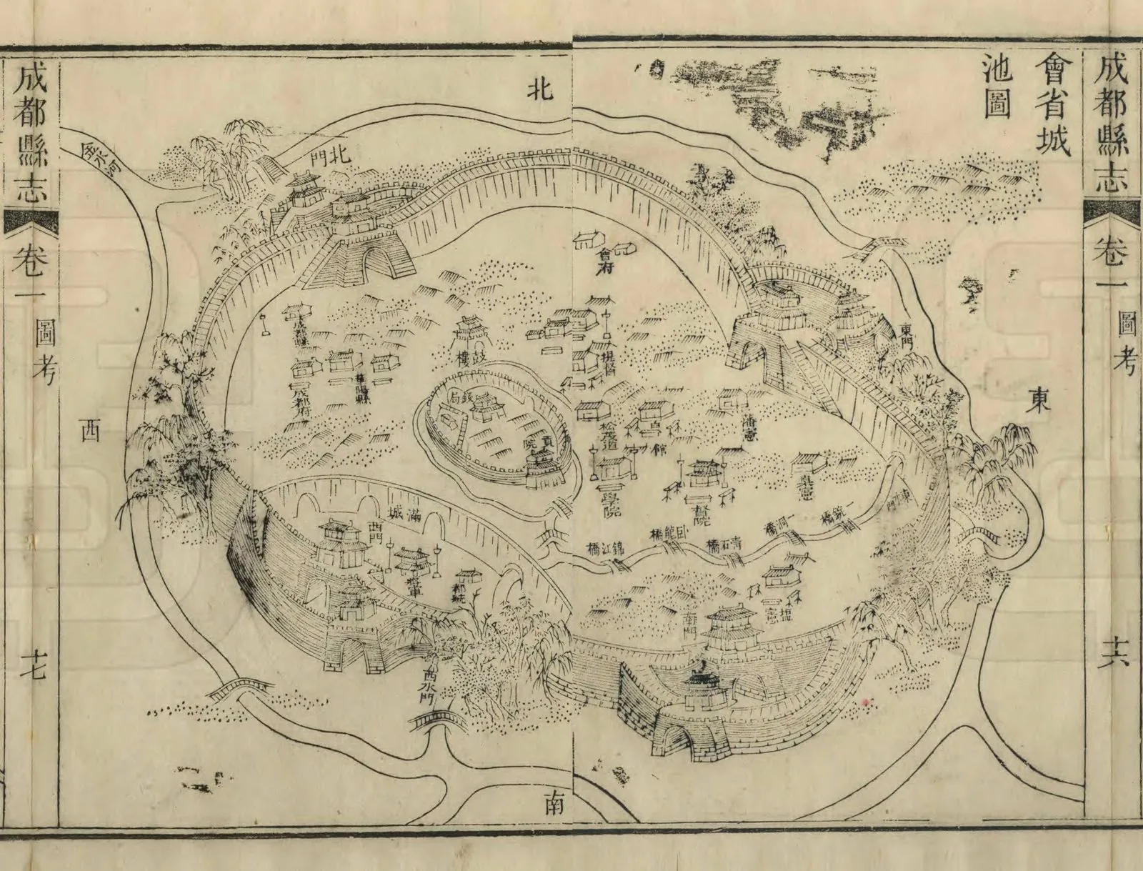
Chengdu was re-founded by the state of Qin after its conquest of the Kingdom of Shu in 316 BCE, when it became the seat of Shu Commandery. Around 311 BCE the strategist Zhang Yi laid out its walls according to the system of the Qin metropolitan capital Xianyang, while the general Sima Cuo had led the conquest. The city was built as two adjoining walled units, a Greater City housing the administration and a Lesser City to the west given over to commerce, producing a regular wall-and-street plan that endured for centuries. Under the Han its celebrated silk industry brought a state Brocade Official and the lasting nickname Brocade City.
Significance
Chengdu is an early example of imperial Chinese planned-city replication, a regional capital deliberately modelled on the metropolitan capital at Xianyang and so spreading the Qin urban template to the provinces. It is also exceptional for its urban continuity, with roughly 2,300 years of unbroken city life under the same name on essentially the same site, a rare survival among the world's ancient foundations.
What became of it
Realised as a dual walled-and-gridded administrative capital and continuously occupied; the Qin layout was repeatedly rebuilt and overbuilt, so the modern city sits atop and largely obscures the original plan.
Critique
The 'grid on the Xianyang model' is known almost entirely from textual sources, and scholars note the physical Qin layout is poorly recoverable beneath later occupation.
What shaped it
- Kaogongji (Artificers' Record) (c. 5th c. BCE)
- The grid (c. 2500 BCE)
- Confucianism & Daoism (c. 5th c. BCE)
Plans it influenced
- Chang’an (Tang Capital) (7th c.)
- Guangzhou / Panyu (Nanyue Capital) (204 BCE)