Chicago Central Area Plan 2003
Core idea
Downtown growth, riverwalk, transit
Why it matters
Catalyzed Loop and river revival
Description
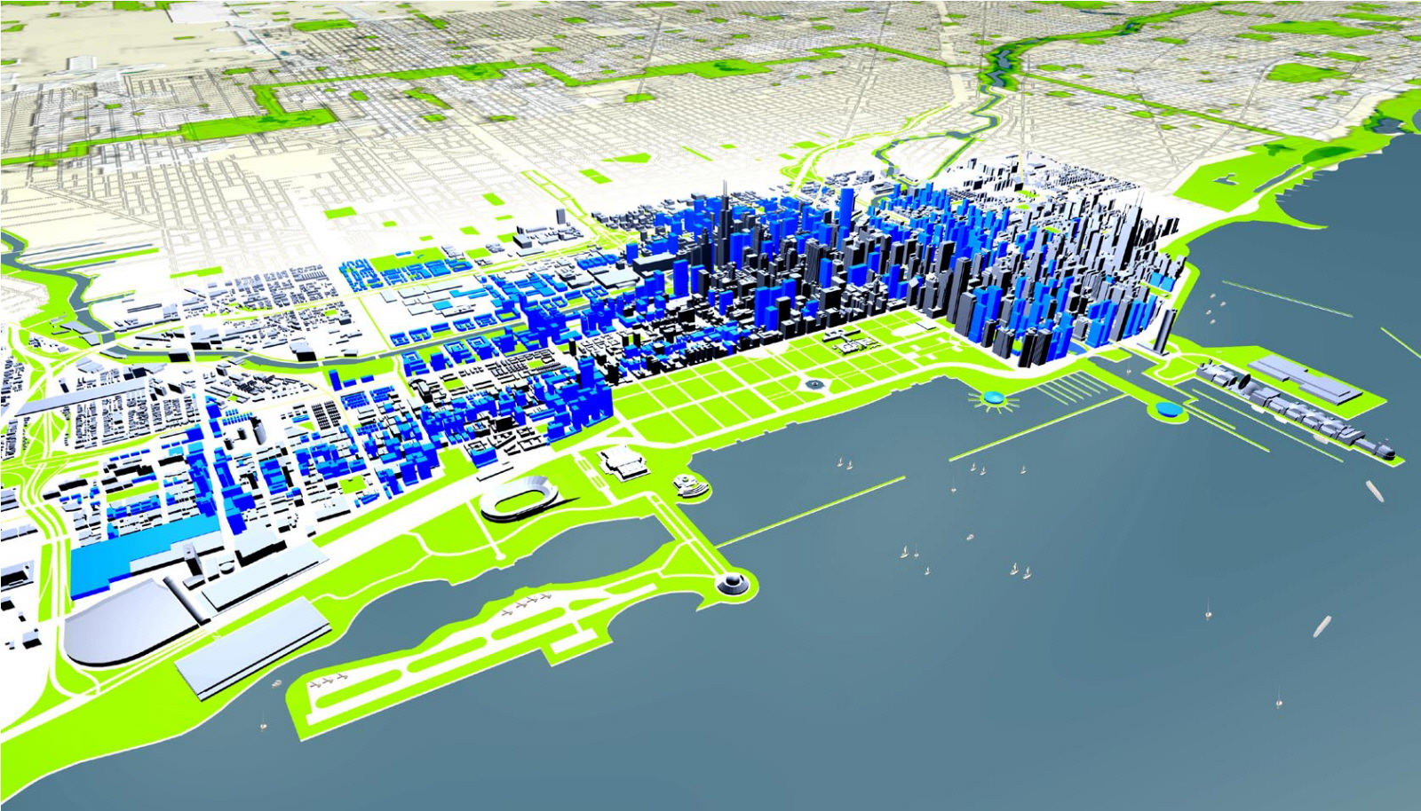
The Chicago Central Area Plan of 2003, prepared by the City of Chicago, set a twenty-year framework for the growth of the Loop and surrounding downtown districts. Its key moves included accommodating substantial office and residential expansion in the central area, improving commuter and transit connections, and reclaiming the Chicago River as a public amenity through a continuous riverwalk and riverfront development standards.
Significance
The plan is credited with helping to catalyse the revival of downtown Chicago as a place to live as well as work, and the completed Chicago Riverwalk became one of the most cited American examples of river-oriented public space. It sits within the broader turn of North American downtown planning towards mixed-use intensification and waterfront reclamation, and is often discussed alongside Chicago's tradition of ambitious central-area plans reaching back to Burnham.
What shaped it
- Plan of Chicago (1909)
- Transit-oriented development (TOD) (1993)
- The compact city (1973-1990s)
Sources
- https://www.chicago.gov/content/dam/city/depts/zlup/Planning_and_Policy/Publications/Central_Are
- https://www.spur.org/publications/urbanist-article/2006-08-01/chicago-central-area-plan