Chicago GO TO 2040 / ON TO 2050
Core idea
Integrated land use/transport/economy
Why it matters
Contemporary US regionalism
Description
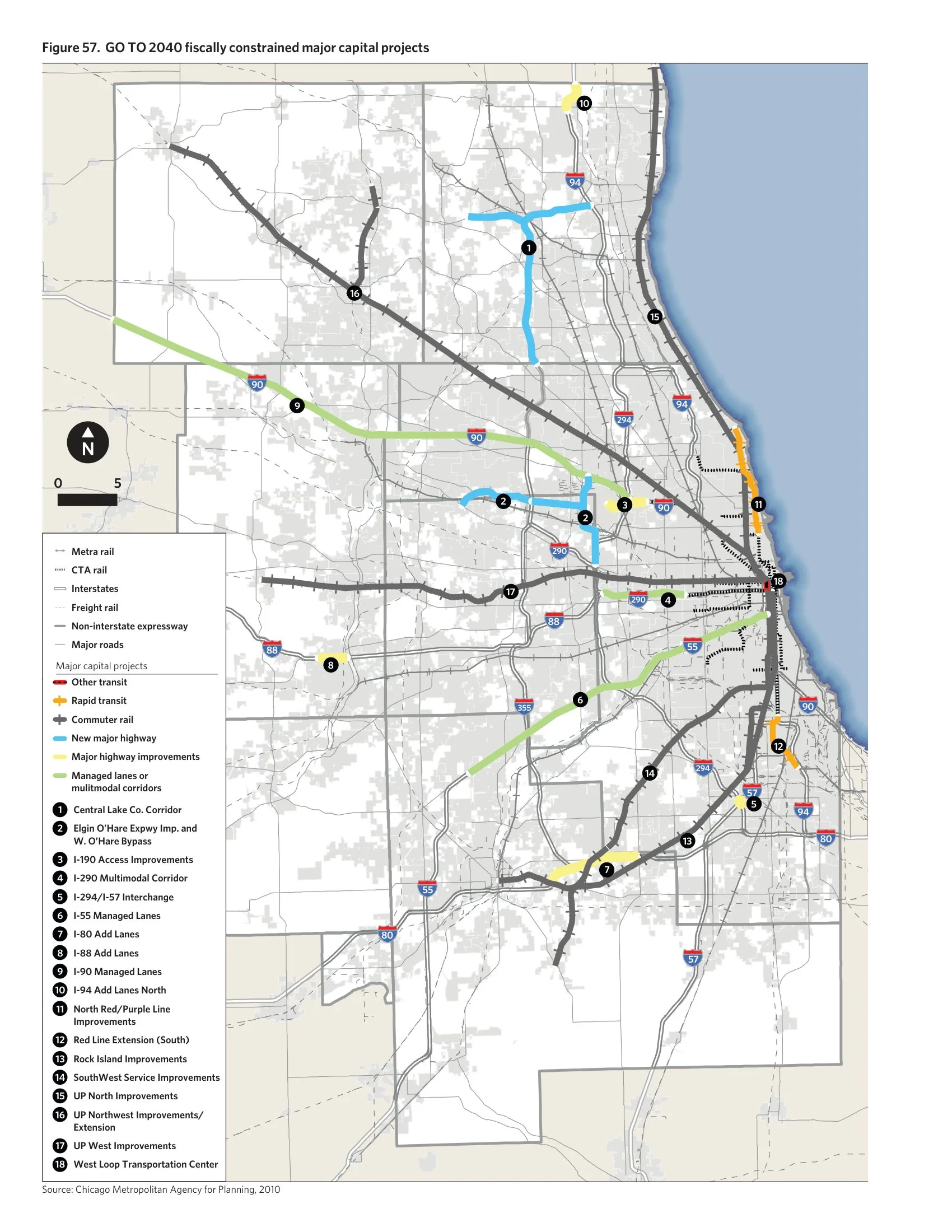
GO TO 2040, adopted in 2010, and its successor ON TO 2050, adopted in 2018, are the comprehensive regional plans for the seven-county Chicago metropolitan area prepared by the Chicago Metropolitan Agency for Planning (CMAP). They integrate land use, transportation, economic development, environment and governance, promoting reinvestment in existing communities, transit modernisation and coordinated infrastructure investment, and they steer federal transportation funding through the region's project prioritisation.
Significance
The plans are leading examples of contemporary American metropolitan regionalism, notable because CMAP was created in 2005 to unify land-use and transport planning in a region famous for Burnham and Bennett's 1909 Plan of Chicago. They demonstrate both the potential and the limits of consensus-based regional planning in fragmented US governance, where the agency persuades rather than compels hundreds of municipalities. ON TO 2050's emphasis on inclusive growth and climate resilience reflects the evolving agenda of US regional plans.
What shaped it
- Transit-oriented development (TOD) (1993)
- Plan of Chicago (1909)
- GIS / digital cadastre (1960s–)
Sources
- https://cmap.illinois.gov/regional-plan/
- https://en.wikipedia.org/wiki/Chicago_Metropolitan_Agency_for_Planning