Christchurch An Accessible City (post-quake transport plan)
Core idea
Complete streets and PT post-earthquake
Why it matters
Key mobility layer of the rebuild
Description
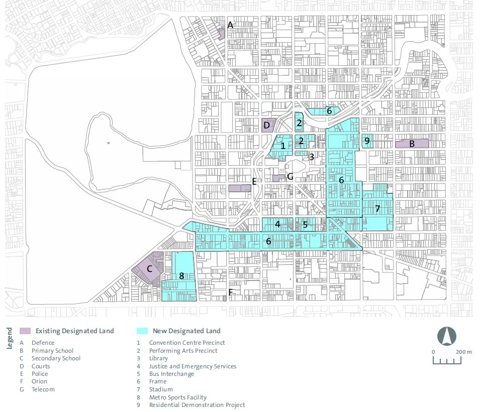
An Accessible City was the transport chapter of the Christchurch Central Recovery Plan, issued in 2013 by the Canterbury Earthquake Recovery Authority and Christchurch City Council following the devastating 2010–11 earthquakes in New Zealand. It set out a complete-streets approach for the rebuilt central city, with lower traffic speeds, reallocated road space, a network of separated cycleways, improved bus infrastructure and a more walkable core. The plan operated at the scale of the central city, providing the mobility framework within which anchor rebuild projects were delivered.
Significance
The plan is a notable case of post-disaster recovery being used to reset a city's transport priorities rather than reinstate the pre-quake status quo. It contributed to international debates on resilience planning and 'building back better', and its cycleway and street-calming programme influenced wider New Zealand practice, even as implementation was slowed by political contestation over road space.
What shaped it
- Urban resilience (2013)
- The pedestrian zone (1953)
- Bus Rapid Transit (BRT) (1974)
Sources
- https://www.dpmc.govt.nz/our-programmes/other-work/historical-programmes/greater-christchurch-re
- https://www.rnz.co.nz/news/national/402365/christchurch-transport-plan-has-divided-the-city