Dar es Salaam Master Plan 2016–2036
Core idea
Transit corridors + city expansion areas
Why it matters
Framework for coastal megacity
Description
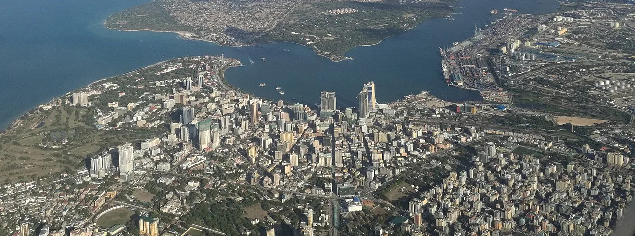
The Dar es Salaam Master Plan 2016–2036, prepared for Tanzania's Ministry of Lands, Housing and Human Settlements Development, provides a twenty-year spatial framework for one of Africa's fastest-growing coastal cities. Its principal moves are a structure of transit corridors—building on the phased DART bus rapid transit system—together with designated satellite centres and urban expansion areas intended to organise growth expected to carry the city towards megacity scale. The plan attempts to coordinate land use, transport and services across a largely informally developed metropolis.
Significance
The plan is significant as an attempt to give corridor-based structure to explosive African urbanisation, pairing one of the continent's first full BRT systems with metropolitan-scale land-use planning. Its implementation gap—most growth continuing through informal settlement beyond plan provisions—makes Dar es Salaam a key case in debates about the relevance of master planning to rapidly urbanising Sub-Saharan cities.
What shaped it
- The master plan (early 20th c.)
- Bus Rapid Transit (BRT) (1974)
- New Urban Agenda (2016)
Sources
- https://www.burohappold.com/wp-content/uploads/2016/08/Dar-Es-Salaam-Masterplan.pdf
- https://www.sciencedirect.com/science/article/pii/S0264837723002983