Dresden Stadtentwicklungskonzept
Core idea
Elbe river resilience + infill
Why it matters
Balances growth/landscape in Saxony
Description
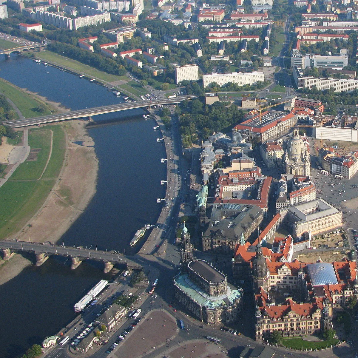
An integrated urban development concept (Stadtentwicklungskonzept) adopted by the City of Dresden in 2017 to steer the Saxon capital's growth. Shaped by the memory of the severe Elbe floods of 2002 and 2013, it keeps the river's meadow landscape open for flood retention while directing housing growth to inner-city infill sites and the repair of the war- and socialist-era urban fabric. The concept co-ordinates sectoral strategies for housing, mobility, climate adaptation and heritage across the whole municipality.
Significance
Dresden's concept illustrates the German tradition of integrated, informal development frameworks (INSEK) that sit above statutory land-use plans, and it is a clear case of landscape- and flood-led structural thinking in a growing east German city. Balancing densification against the celebrated Elbe river landscape — the subject of the earlier UNESCO controversy over the Waldschlösschen bridge — it speaks to wider European debates on reconciling growth, heritage and climate adaptation.
What shaped it
- Urban resilience (2013)
- The compact city (1973-1990s)
Sources
- https://www.dresden.de/insek
- https://www.dresden.de/media/pdf/stadtplanung/stadtplanung/INSEK-Fortschreibung_2017_2018.pdf