Edo (Tokugawa Capital)
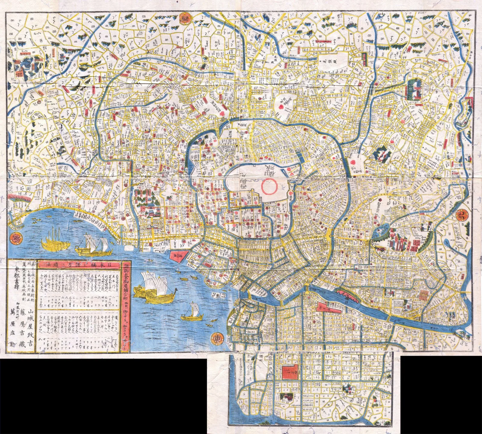
Core idea
Spiral castle-town layout with concentric moats, daimyō estates, and commoner districts (shitamachi); world's largest city by 1720
Why it matters
Organic-hierarchical planning that made Tokyo; demonstrates non-grid urbanism at mega-city scale; sophisticated fire/water management
Description
The Tokugawa shoguns developed Edo from 1590 into the administrative capital of Japan, organizing it as a vast spiral of moats winding outward from the castle. Daimyō lords' estates ringed the fortress, while merchants and artisans packed the low-lying 'shitamachi.' Sophisticated water supply and firefighting systems served a population that passed a million by 1720.
Significance
Edo (renamed Tokyo in 1868) shows non-grid, spiral-hierarchical planning sustaining the largest city in the world. Its socially zoned structure and infrastructure underlie modern Tokyo, proving great metropolitan order need not be orthogonal.
What became of it
Realised and continuously inhabited; renamed Tokyo in 1868 when it became the imperial capital, and the castle-town's moats, radial waterways and district structure still underlie the modern city.
Critique
The rigid status-based segregation of samurai, commoner and temple districts entrenched a steep social hierarchy in the urban plan.
What shaped it
- Gunpowder and the cannon (9th–14th c.)
- Fengshui landscape cosmology (Han onward, codified by Song)
- The baojia mutual-responsibility registration (Northern Song, c. 1070)
- The siheyuan courtyard house and hutong (systematised from Yuan Dadu, 1267)