eThekwini (Durban) SDF
Core idea
Coastal resilience and corridor development
Why it matters
Integrates climate and inclusion
Description
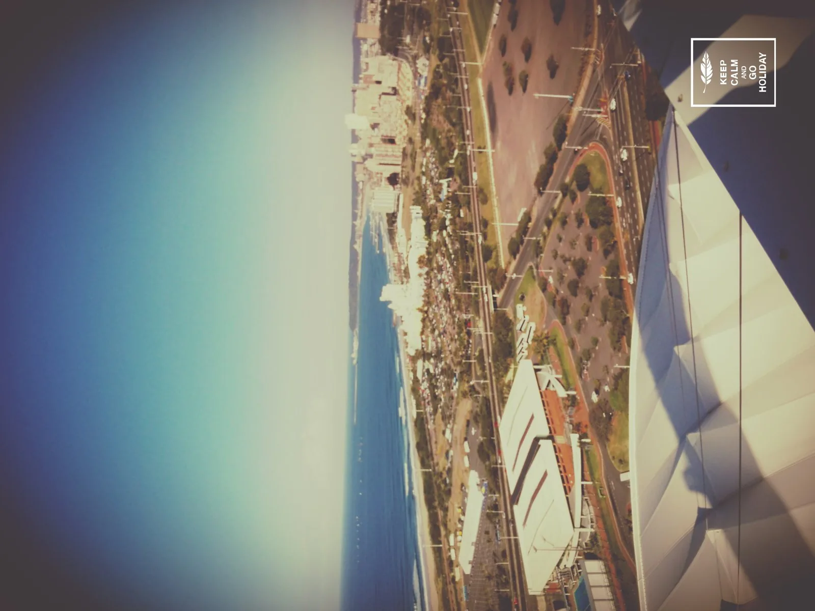
The eThekwini Spatial Development Framework is the statutory city-wide spatial plan for the Durban metropolitan municipality in South Africa, revised in successive cycles including 2017 and 2022. It structures growth along public-transport corridors and nodes while protecting the Durban Metropolitan Open Space System, and gives explicit attention to coastal and flood resilience in a city repeatedly hit by storm and flood events. The framework seeks to redress apartheid-era spatial fragmentation by directing investment towards under-served townships and informal settlements.
Significance
The SDF is a notable example of a Global South metropolis attempting to integrate climate adaptation with spatial justice in a single statutory instrument, and Durban's open-space and adaptation work has been widely cited in international climate-planning networks. It illustrates both the promise and the difficulty of resilience planning where informality, service backlogs and severe flood risk coincide.
What shaped it
- Urban resilience (2013)
- SDG 11 — Sustainable Cities (2015)
- Transit-oriented development (TOD) (1993)
- Habitat III & New Urban Agenda (2016)
Sources
- https://dag.durban.gov.za/uploads/0000/6/2025/09/19/sdf-2017-2018-report.pdf
- https://economic.durban.gov.za/storage/Documents/DPEM/Documents%20%20Notices/Strategic%20Spatial