Ghent Oude Dokken Masterplan
Core idea
Old docks to mixed-use waterfront
Why it matters
Port heritage turned into urban living
Description
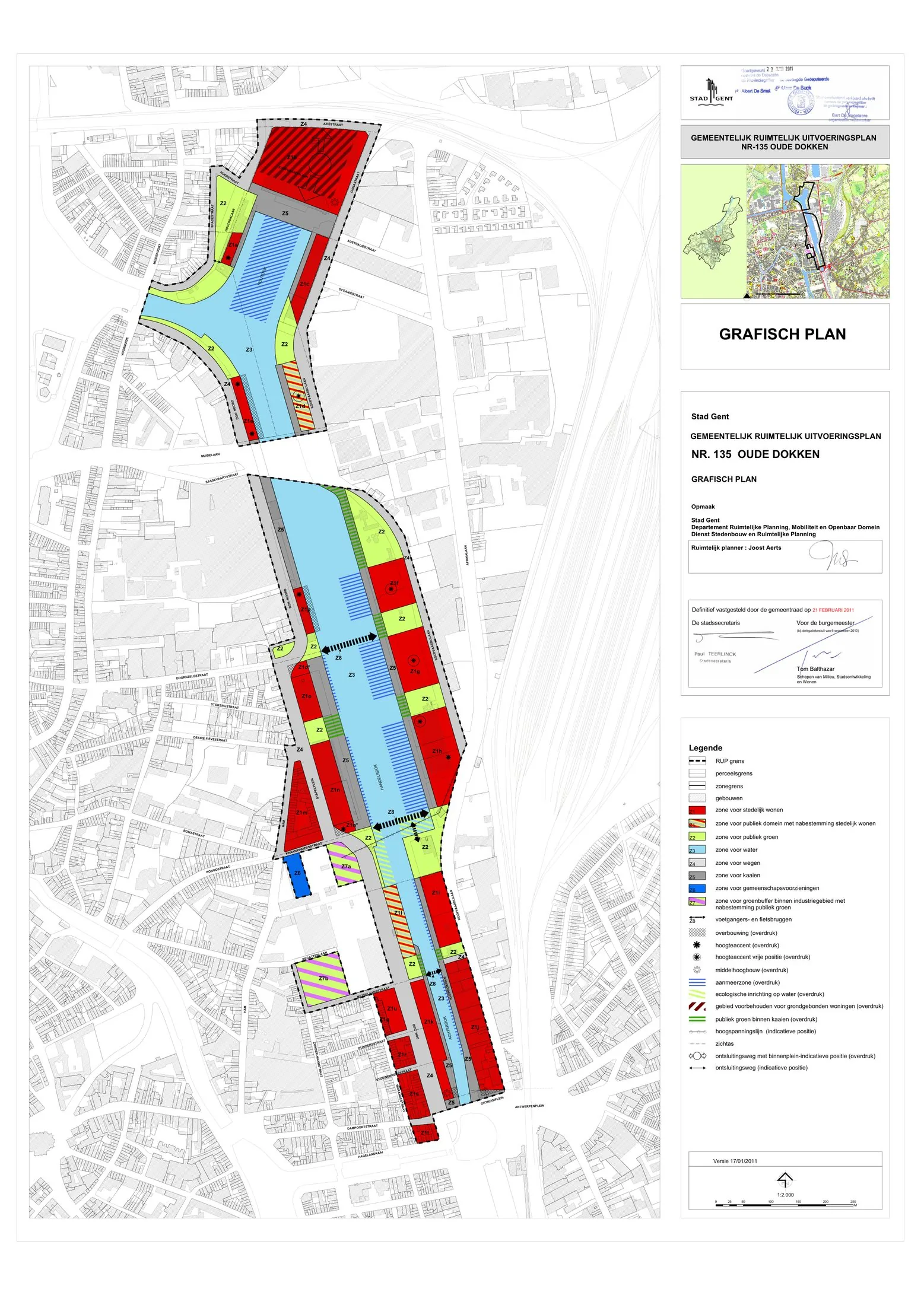
The Oude Dokken (Old Docks) Masterplan is a City of Ghent project, developed from a framework by OMA/Rem Koolhaas' office and carried forward from the 2010s, to convert the nineteenth-century dock basins north-east of the historic centre into a mixed-use waterfront quarter. The plan arranges housing, schools, parks and workspace along both banks of the Handelsdok, retaining cranes, quay walls and other port heritage, and links the new district to the centre with pedestrian and cycle bridges. Development has proceeded in phases through public-private partnership under the city development agency sogent.
Significance
Oude Dokken is a representative case of the second generation of European dockland regeneration, in which mid-sized cities converted redundant port areas into everyday residential neighbourhoods rather than corporate office enclaves. It is noted for its heritage retention, water-related public space and emphasis on affordable and family housing. The project is discussed in Flemish and wider European planning literature as a measured, process-driven alternative to spectacle-led waterfront schemes.
What shaped it
- The diesel ship and the modern port (diesel ships from 1912; container shipping 1956)
- The compact city (1973-1990s)
- Landscape urbanism (Waldheim) (1997-2006)