Gothenburg Älvstaden
Core idea
River-corridor densification
Why it matters
Resilience + mixed-use on post-industrial land
Description
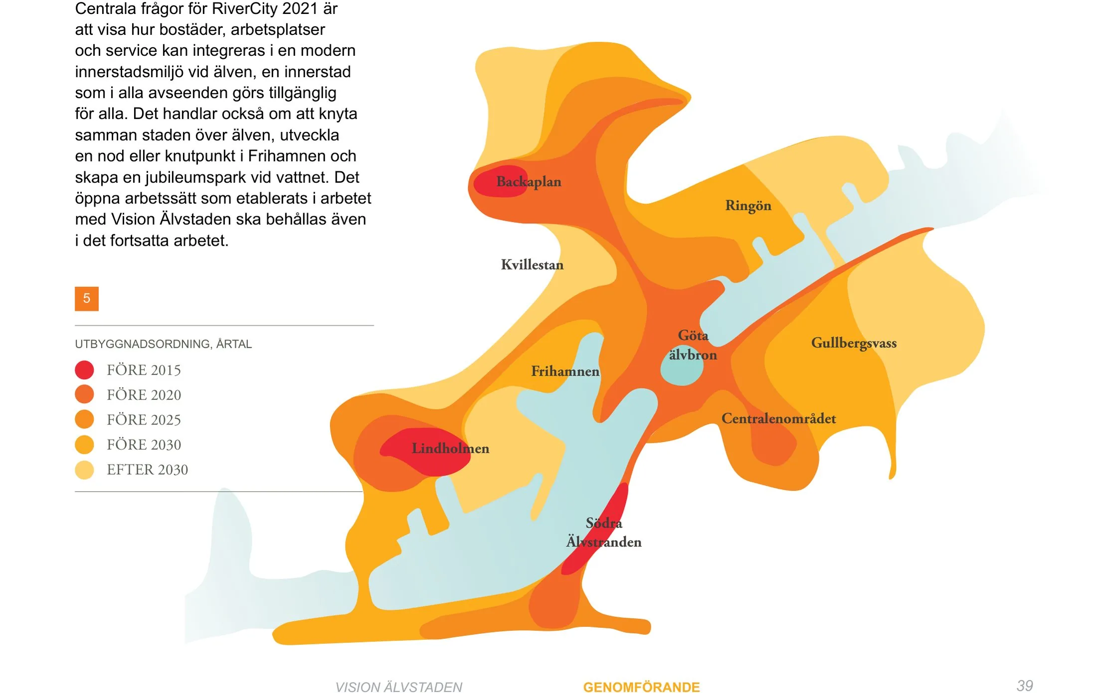
Älvstaden, or RiverCity Gothenburg, is a long-term vision adopted by the City of Gothenburg in 2012 for redeveloping former shipyard, port and industrial land along both banks of the Göta älv river. Covering districts such as Frihamnen, Lindholmen and Gullbergsvara, it is among the largest urban development undertakings in Scandinavia, aiming to double the size of the inner city with dense mixed-use quarters. The vision stresses connecting the city across the river, social mixing, and resilience to flooding and rising water levels.
Significance
Älvstaden represents Nordic post-industrial waterfront planning inflected by explicit social-sustainability and climate-adaptation goals, including experimental temporary uses and a debated public bathing culture in Frihamnen. Its commitments to affordable housing within market-led redevelopment have made it a case study in whether inclusive ambitions survive implementation. The programme anchors Gothenburg's broader transformation around its 400th anniversary and river-crossing infrastructure.
What shaped it
- The compact city (1973-1990s)
- Urban resilience (2013)
- Transit-oriented development (TOD) (1993)
- Global financial crisis (2007–2009)
- Sustainable development (Brundtland) (1987)
Sources
- https://www.21stcenturydevelopment.org/case-studies/rivercity-gothenburg/
- https://www.mistraurbanfutures.org/en/project/formative-evaluation-implementation-river-city-vis