Greater Golden Horseshoe Greenbelt
Core idea
Protected landscape + growth plan
Why it matters
Largest greenbelt in North America
Description
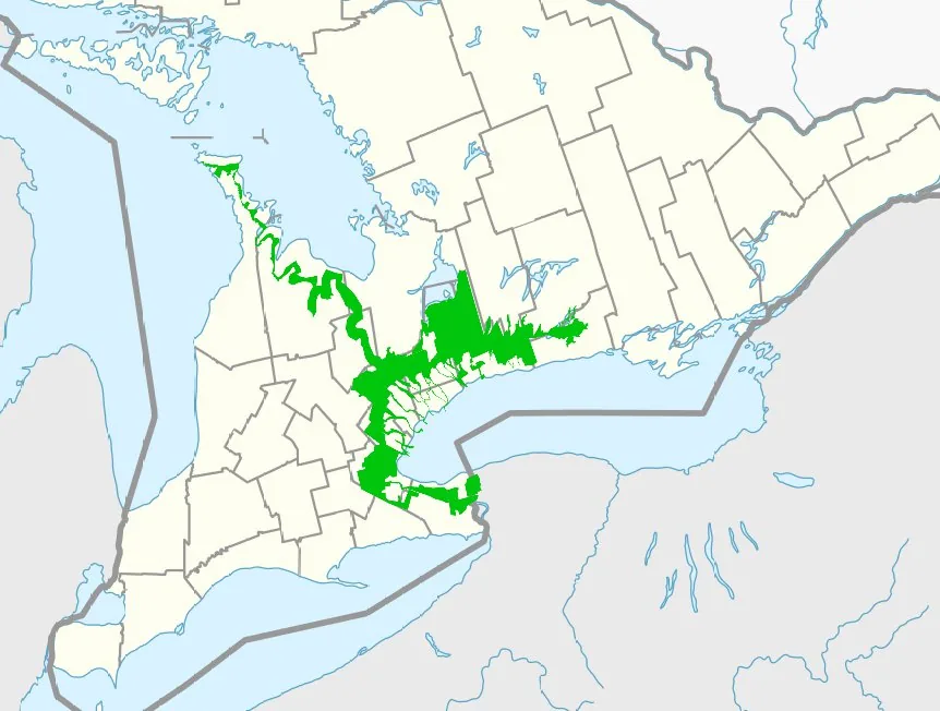
The Greater Golden Horseshoe Greenbelt was established by the Province of Ontario through the Greenbelt Act and Greenbelt Plan of 2005, permanently protecting a broad arc of countryside, farmland and natural systems around Toronto and the western Lake Ontario urban region. Covering roughly two million acres including the Niagara Escarpment and Oak Ridges Moraine, it was paired with the Places to Grow growth plan, which directed future urbanisation into designated centres and intensification corridors inside the belt.
Significance
The Ontario Greenbelt is generally described as the largest of its kind in North America and is a landmark in translating the garden-city and greenbelt tradition to a continental metropolitan region. Its coupling of landscape protection with a statutory growth plan is studied as a model of regional growth management, while persistent political pressure to open greenbelt land for housing keeps it at the centre of debates on containment, land supply and affordability.
What shaped it
- The green belt (1898 concept / 1938 law)
- The compact city (1973-1990s)
- Sustainable development (Brundtland) (1987)
- Barlow Report & green-belt policy (1940)
Sources
- https://www.ontario.ca/page/ontarios-greenbelt
- https://en.wikipedia.org/wiki/Greenbelt_(Golden_Horseshoe)