Hamilton LRT Corridor Plan
Core idea
LRT-led intensification
Why it matters
Industrial city’s revival spine
Description
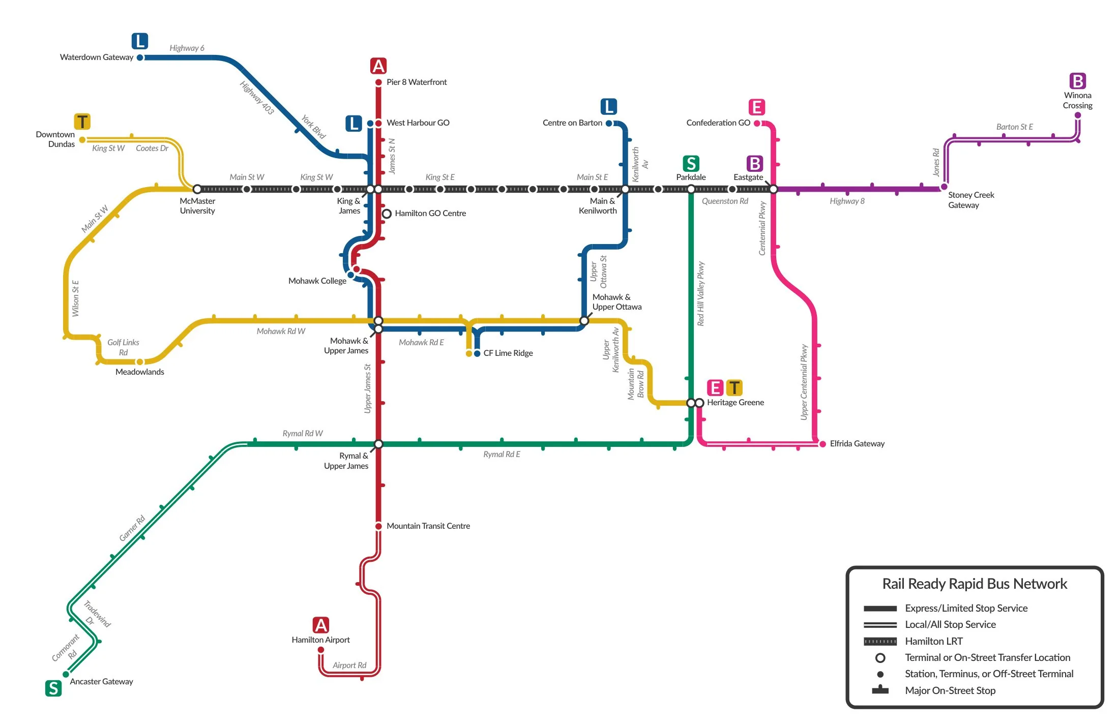
A corridor plan developed by the City of Hamilton, Ontario from the mid-2010s around a proposed light rail line running along the lower city's main east-west spine. The plan paired the provincially funded LRT with land-use intensification, station-area redevelopment and the renewal of an ageing commercial corridor, positioning transit investment as the backbone of the post-industrial city's revival.
Significance
Hamilton's LRT plan is a characteristic case of transit-oriented regeneration in mid-sized North American rust-belt cities, where light rail is asked to carry economic revival as much as mobility. Its repeated political cancellations and revivals have made it a study in the fragility of transit-led planning when provincial and municipal politics diverge, and in gentrification anxieties along revitalising corridors.
What shaped it
- Transit-oriented development (TOD) (1993)
- The street tram / streetcar (1832 horse / 1881 electric)
- The compact city (1973-1990s)
Sources
- https://en.wikipedia.org/wiki/Hamilton_LRT
- https://news.ontario.ca/en/release/1005287/ontario-taking-next-step-to-build-hamilton-lrt