Helsinki City Plan 2016
Core idea
Boulevardization of motorways, densification
Why it matters
Paradigm shift to urban boulevards
Description
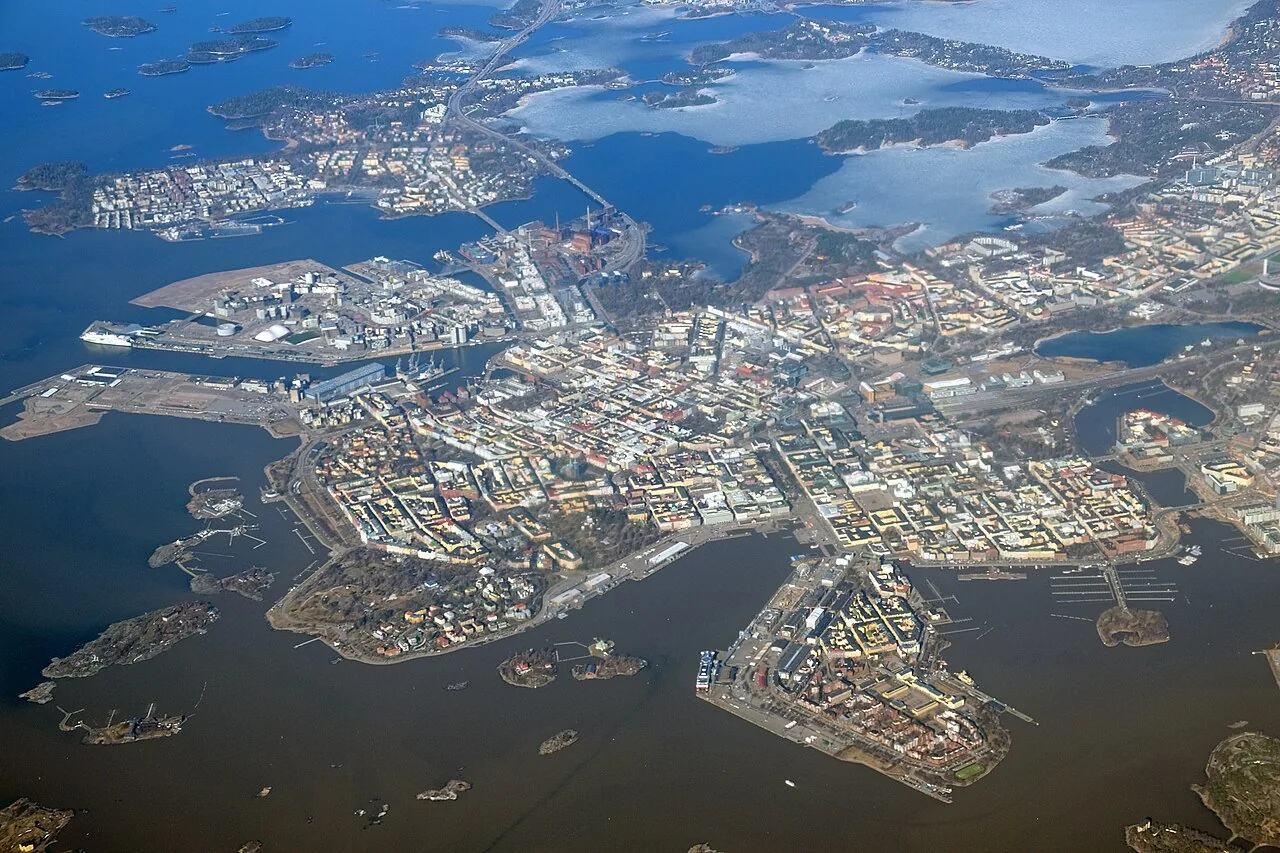
The Helsinki City Plan 2016 is a citywide strategic land-use plan, prepared by the City of Helsinki, whose defining move is the 'boulevardisation' of the motorway approaches into the city: converting radial highway corridors into urban boulevards lined with housing and served by rail and tram. Presented as a vision of a rail-network city of linked centres, it aims to accommodate substantial population growth through densification within the existing urban footprint rather than peripheral expansion.
Significance
The plan attracted international attention as one of the most systematic attempts anywhere to reclaim urban motorway land for city building, giving 'boulevardisation' currency in European planning debates. Legal challenges that struck down some boulevard designations illustrate the friction between municipal densification agendas and regional traffic interests. It stands in a long Helsinki tradition of strong municipal planning, extending the city's infrastructural reform lineage from Saarinen's regional visions to contemporary transit-led growth.
What shaped it
- The compact city (1973-1990s)
- The boulevard (17th–19th c.)
- Transit-oriented development (TOD) (1993)
- The urban freeway (mid-20th c.)
Sources
- http://www.yleiskaava.fi/en/2016/city-council-approves-new-city-plan-after-six-hour-debate/
- https://hri.fi/data/en_GB/dataset/helsingin-yleiskaava-2016