Hyderabad / Charminar (Qutb Shahi City)
Core idea
Planned grid city founded 1591 with the Charminar as cardinal fulcrum of crossing axes.
Why it matters
A rare wholly planned Indo-Persian foundation organised around a four-gated cosmological centre.
Description
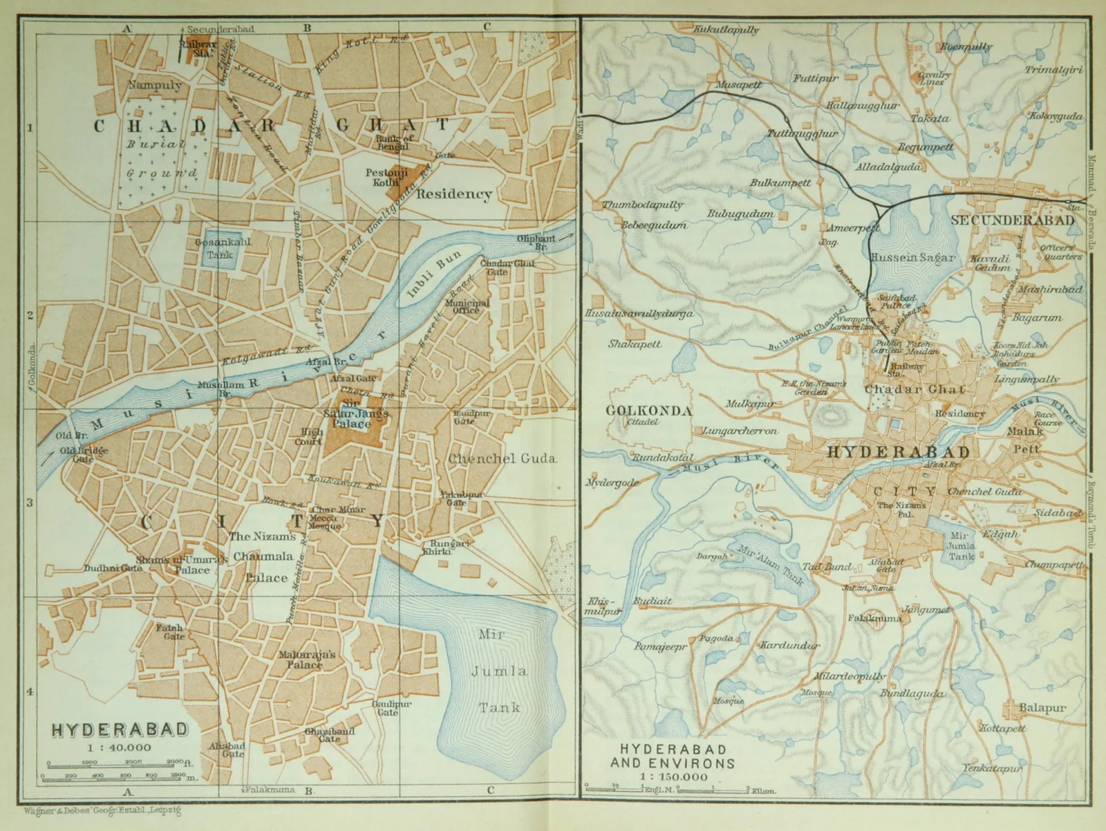
Hyderabad was founded in 1591 by the Qutb Shahi sultan Muhammad Quli Qutb Shah on the south bank of the Musi, partly to relieve overcrowding at Golconda. Its plan, attributed to the minister Mir Momin Astarabadi, was laid out on a gridiron with the Charminar at its centre and palaces and administrative buildings ranged along the principal axes. The Charminar, also raised in 1591, stands at the crossing of two arterial streets and forms the symbolic fulcrum of the city, its four arches and minarets oriented to the cardinal directions. The design fuses Persian chahar-bagh and four-arch geometry with local tradition, producing an ordered, axially planned capital.
Significance
Hyderabad is one of the few major South-Asian cities conceived as a deliberate, gridded foundation rather than an organic growth, its axes pinned to the cardinally oriented Charminar. The scheme exemplifies Indo-Persian planning ideals of order, symmetry and a monumental centre, and the Charminar endures as the city's defining emblem. It remains a key case of Deccani sultanate urbanism and of cosmological centring applied to a working capital.
What became of it
Realised and absorbed into modern Hyderabad; the Charminar and the surrounding grid of bazaars survive as the historic core of the old city.
What shaped it
- Vastu Shastra / Mayamata / Manasara (c. 6th c. CE)
- The souq and qaysariyya (covered market) (developed c. 8th–10th c.)
- Christianity & Islam (1st c. CE / 622 CE)