Hyderabad Metropolitan Development Plan 2031
Core idea
Outer Ring Road TOD & polycentricity
Why it matters
Regional-scale corridor planning
Description
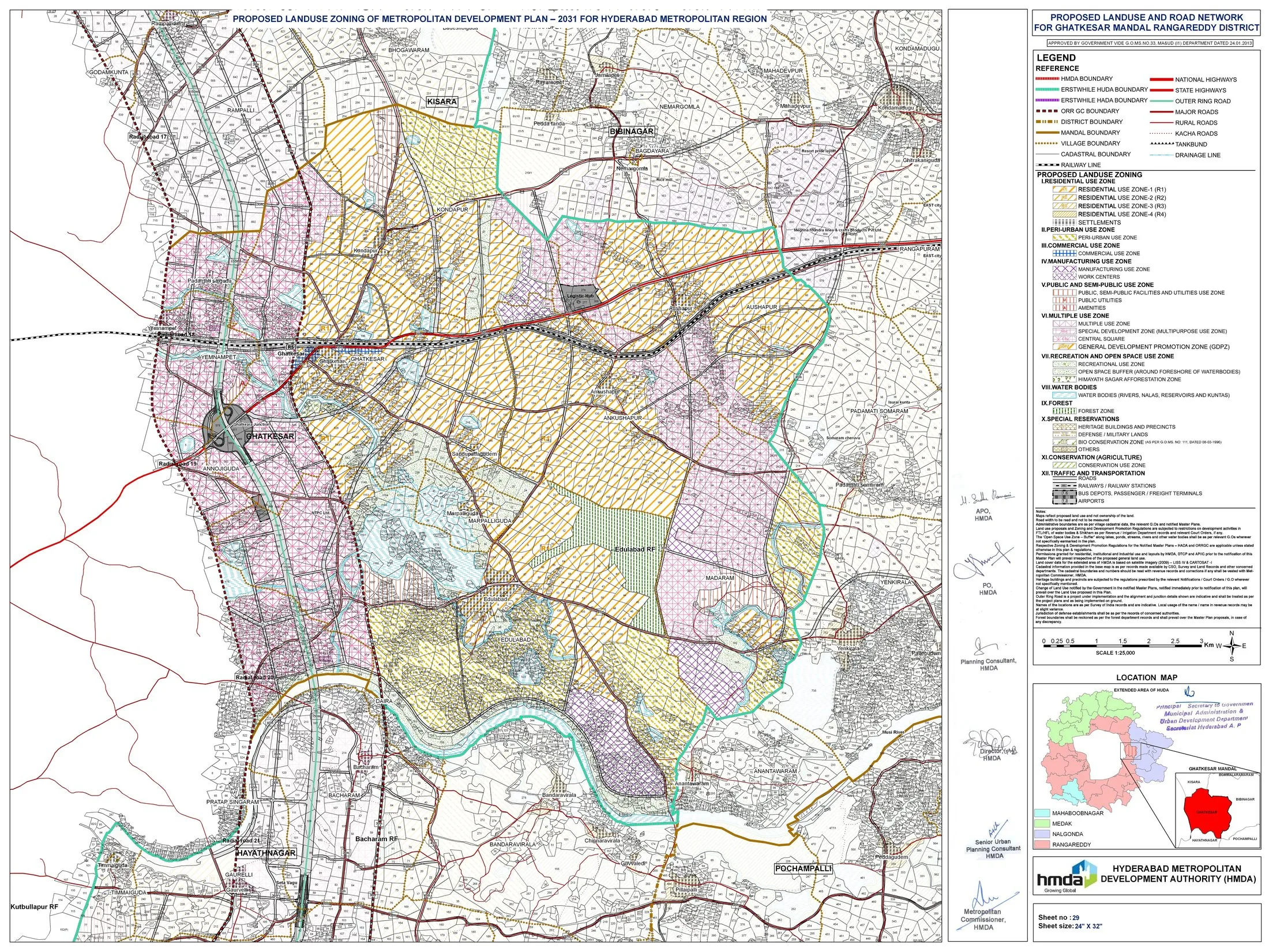
The Hyderabad Metropolitan Development Plan 2031, notified in 2013 by the Hyderabad Metropolitan Development Authority (HMDA), is the statutory metropolitan development plan for the Indian city-region of Hyderabad, covering an area of several thousand square kilometres. It structures growth polycentrically around the 158-kilometre Outer Ring Road, designating a growth corridor along the ring, peripheral employment nodes and land-use zoning for a projected large increase in metropolitan population, alongside transport and infrastructure proposals. It succeeded and consolidated earlier master plans for the core city and surrounding areas.
Significance
The plan is significant as a leading Indian example of ring-road-led metropolitan regionalism, in which a major orbital expressway is used deliberately as an armature for polycentric expansion and transit-oriented growth corridors. It reflects the scale and instruments of Indian metropolitan development authorities in the liberalisation era, including land pooling and corridor designation. It features in debates on whether ring-corridor models channel growth effectively or accelerate speculative peripheral urbanisation.
What shaped it
- Transit-oriented development (TOD) (1993)
- The compact city (1973-1990s)
- The master plan (early 20th c.)