Hyderabad Strategic Road Dev. Plan + Metro
Core idea
Ring roads + metro + TOD
Why it matters
Re-shapes mobility of a tech hub
Description
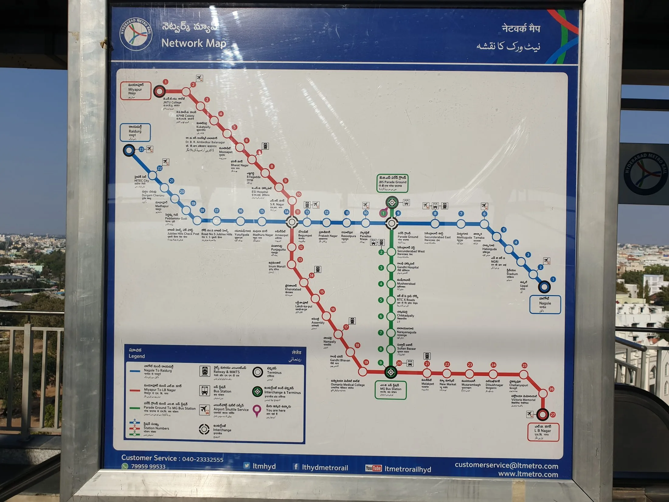
From the 2010s Hyderabad pursued a coordinated mobility strategy combining the Strategic Road Development Plan of ring roads, flyovers and corridor upgrades led by the metropolitan development authority with the Hyderabad Metro Rail, one of the world's largest metro projects delivered under public-private partnership, opened from 2017. Transit-oriented development policies around stations and the Outer Ring Road growth corridor frame land use for the expanding technology-driven metropolis.
Significance
Hyderabad's programme illustrates how Indian metropolitan regions have layered metro systems and TOD policy onto road-led growth to serve booming IT economies, notably around HITEC City. The PPP metro model was closely watched, and its financial difficulties have informed debate on private financing of urban rail in India. The combination of ring-road expansion with transit investment also exemplifies the tensions between car-oriented and transit-oriented trajectories in South Asian cities.
What shaped it
- Transit-oriented development (TOD) (1993)
- The urban freeway (mid-20th c.)
- The metro / underground railway (1863)