Indore Development Plan 2021
Core idea
Ring roads, new growth centers
Why it matters
Organizes central India boomtown
Description
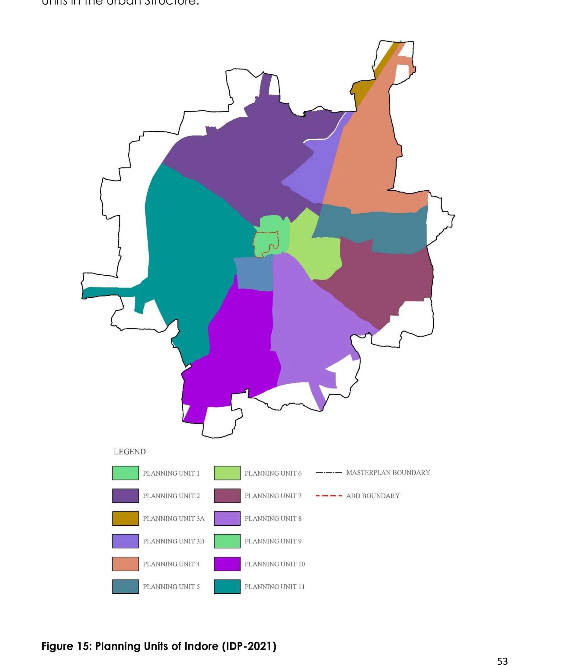
The Indore Development Plan 2021, prepared under the Indore Development Authority and Madhya Pradesh's town planning apparatus and approved in 2008, is a statutory development plan for one of central India's fastest-growing commercial cities. It structures expansion through a system of ring roads and radial corridors, designates new growth centres and planned schemes on the urban periphery, and allocates land uses for a city whose population and economy were expanding rapidly.
Significance
The plan is representative of the standard Indian development-plan instrument applied to a second-tier boomtown, using ring-and-radial road infrastructure to organise peripheral growth. Indore's subsequent prominence in national urban programmes has made the plan a useful case for examining how mid-sized Indian cities translate statutory land-use planning into actual development, and where informal growth outruns the plan.
What shaped it
- The master plan (early 20th c.)
- World becomes majority urban (2007)
- Floor Area Ratio (FAR/FSI) (20th c.)
- The urban freeway (mid-20th c.)
- Global financial crisis (2007–2009)