Jaipur Master Development Plan 2025
Core idea
Peri-urban expansion and heritage core
Why it matters
Manages growth of planned historic city
Description
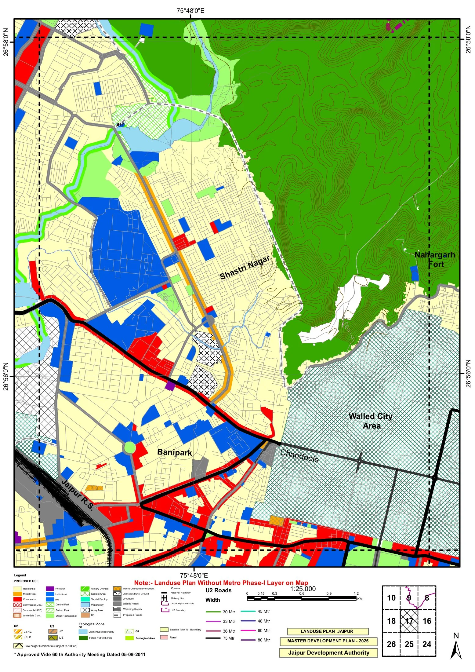
The Master Development Plan 2025 for Jaipur, notified in 2011 by the Jaipur Development Authority, is a statutory plan guiding the growth of the Rajasthani capital towards a projected multi-million population. It provides for large peri-urban expansion zones, ring and radial road infrastructure and new institutional and economic areas, while setting distinct provisions for the walled historic core — the planned eighteenth-century city of Jai Singh II — including heritage-sensitive controls.
Significance
The plan is significant as an attempt to manage explosive metropolitan growth around one of history's most celebrated planned cities, whose walled core was later inscribed as a UNESCO World Heritage site. It illustrates the characteristic dilemmas of Indian master planning: ambitious land-use allocation on the periphery, contested implementation, and the difficulty of reconciling statutory plans with informal growth and heritage conservation.
What shaped it
- The master plan (early 20th c.)
- The Image of the City (1960)
Sources
- https://jda.rajasthan.gov.in/content/raj/udh/jda---jaipur/en/town-planning/master-development--p
- https://assetyogi.com/jda-jaipur-master-plan/