Jeddah Strategic Plan
Core idea
Coastal growth management & heritage areas
Why it matters
Repositions Red Sea metropolis
Description
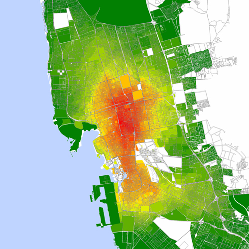
The Jeddah Strategic Plan of 2009, prepared for Jeddah Municipality with consultant support, is a city-wide strategy for Saudi Arabia's Red Sea metropolis and principal commercial port. It addresses coastal growth management along the corniche and northward expansion, upgrading of unplanned settlements, infrastructure deficits including flooding and drainage, and the protection and revitalisation of heritage areas, notably the historic core of Al-Balad.
Significance
The plan marks a shift in Saudi urban governance towards strategic, issue-driven planning for existing cities rather than solely new-town projects, and helped reposition Jeddah between heritage conservation—Al-Balad later gained UNESCO World Heritage status—and metropolitan modernisation. Jeddah's deadly floods of 2009 and 2011 underscored the plan's concerns and sharpened debate about informal settlement, drainage and governance in Gulf cities.
What shaped it
- The master plan (early 20th c.)
- World becomes majority urban (2007)
- Global financial crisis (2007–2009)
- Transit-oriented development (TOD) (1993)
- Sustainable development (Brundtland) (1987)
Sources
- https://www.scirp.org/reference/referencespapers?referenceid=1839027
- https://www.arabnews.com/node/324314