Kathmandu Valley Dev. Plan
Core idea
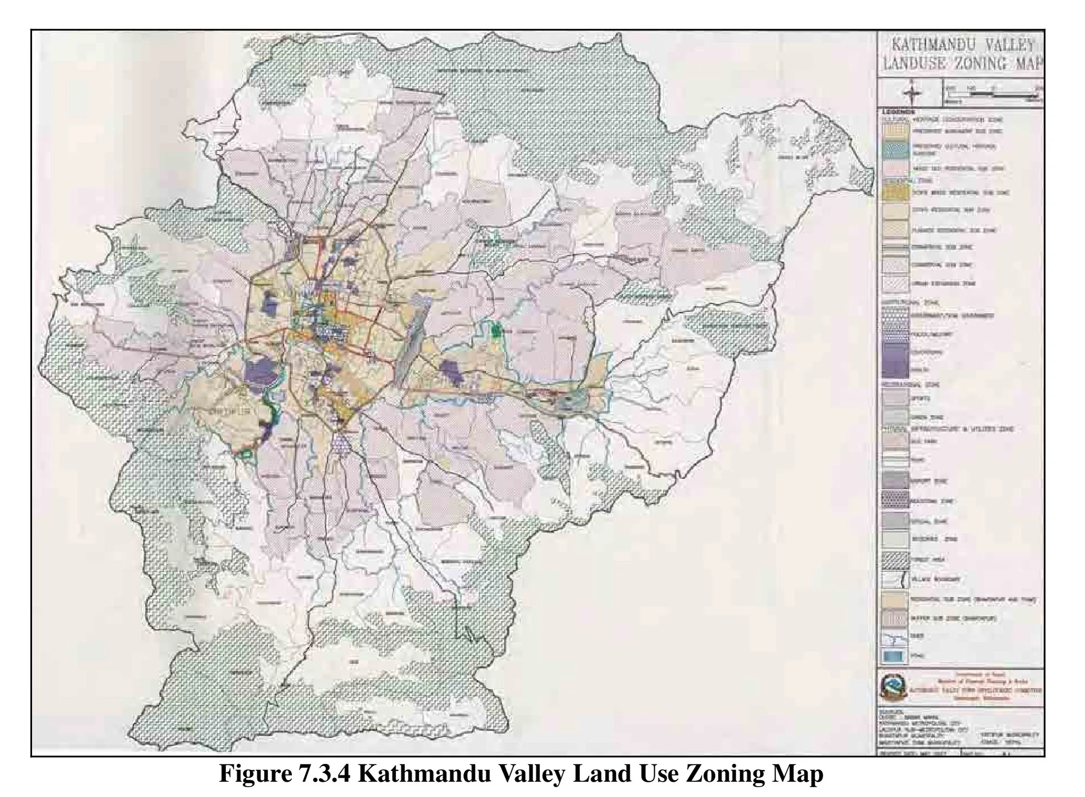
Heritage protection + growth areas
Why it matters
Balances rapid growth and cultural assets
Description
A development strategy for the Kathmandu Valley prepared under the Government of Nepal's Kathmandu Valley Development Authority from around 2015, in the aftermath of the Gorkha earthquake. It sought to manage the explosive, largely informal growth of the valley's urban agglomeration by designating growth areas and infrastructure corridors while protecting the World Heritage monument zones, agricultural land and the valley's distinctive Newari urban fabric.
Significance
The plan illustrates the dilemma facing historic South Asian city-regions: reconciling rapid, weakly regulated urbanisation with globally significant cultural heritage and acute seismic risk. Its partial implementation has made the Kathmandu Valley a frequently discussed case in debates on metropolitan governance capacity, post-disaster reconstruction and heritage-led planning in the global South.
What shaped it
- Genius Loci (Norberg-Schulz) (1979)
- Urban resilience (2013)
Sources
- http://www.kvda.gov.np/uploads/form/SDMP%20part1.pdf
- https://www.unescap.org/sites/default/files/Session%203%20-%20KVDA%20-%20Bhaikajitiwari.pdf