Kraków Transport & Spatial Strategy
Core idea
Tram-led corridors and heritage protection
Why it matters
Balances tourism pressure and mobility
Description
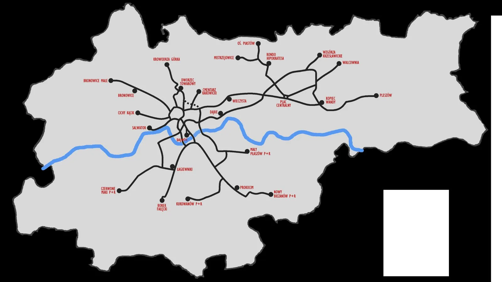
A city-prepared transport and spatial strategy for Kraków adopted in the mid-2010s, structuring growth around tram-served corridors while extending protection of the city's exceptional historic core. Key moves included prioritising the fast tram network and interchange nodes, restraining car traffic in and around the UNESCO-listed centre, and coordinating land-use intensification with public transport capacity. It operates at the scale of the whole city, produced by the City of Kraków.
Significance
The strategy illustrates the post-socialist Central European turn from car-oriented catch-up planning towards transit-led, heritage-conscious urbanism. Kraków's pairing of tram corridor investment with traffic restraint in a mass-tourism historic centre has made it a reference point for reconciling visitor pressure, conservation and everyday mobility in the region.
What shaped it
- The street tram / streetcar (1832 horse / 1881 electric)
- Transit-oriented development (TOD) (1993)
- City Planning According to Artistic Principles (1889)
Sources
- https://urban-mobility-observatory.transport.ec.europa.eu/resources/case-studies/evaluation-tran
- https://civitas.eu/cities/krakow