Leeds South Bank Regeneration Framework
Core idea
Station-adjacent mixed-use expansion
Why it matters
Doubles city center with HS2/ NPR interfaces
Description
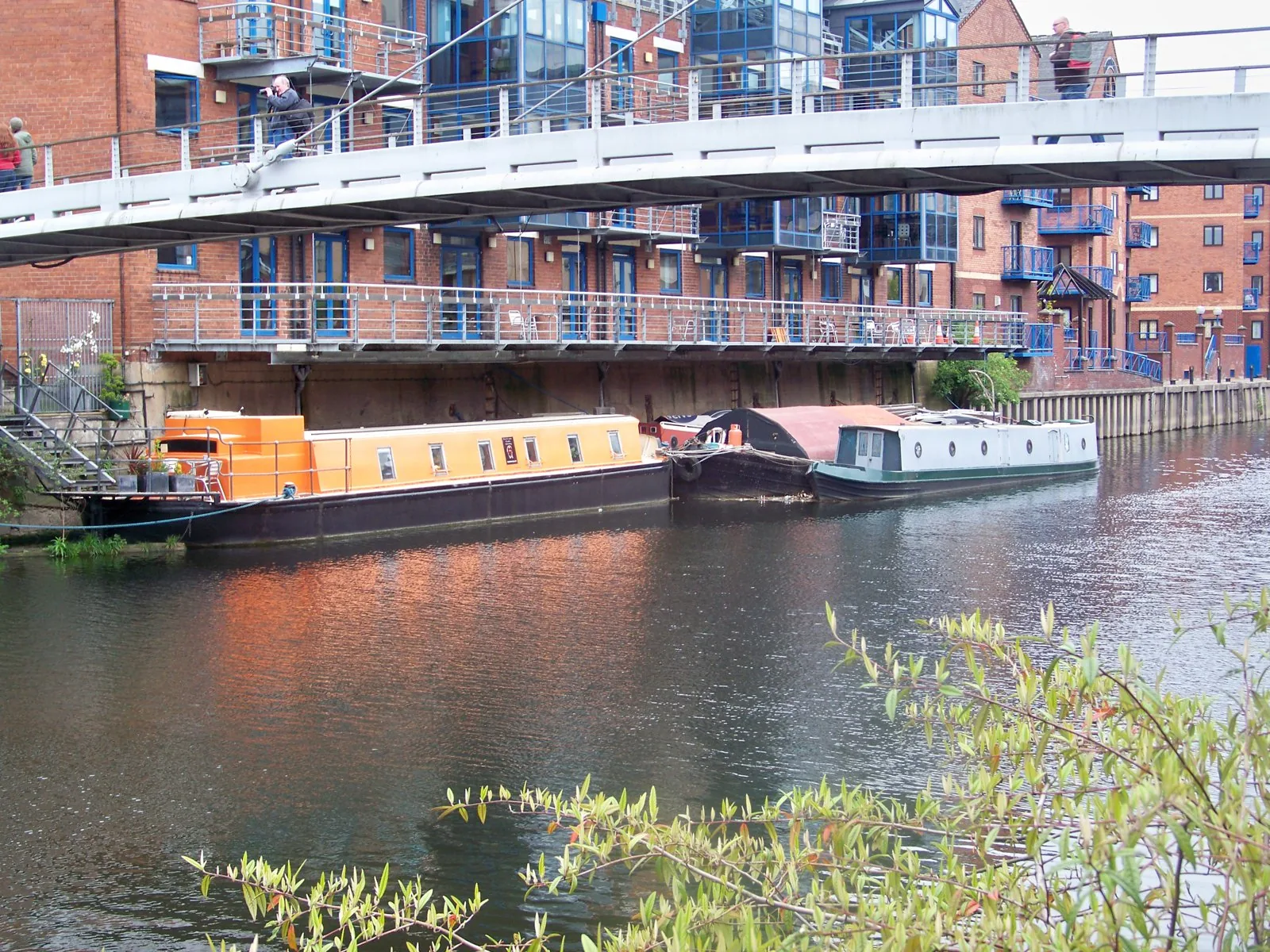
The Leeds South Bank Regeneration Framework, advanced by Leeds City Council around 2018, set out the transformation of a largely post-industrial area south of the River Aire into a mixed-use extension of the city centre. Its key moves included effectively doubling the size of the central area, integrating a redeveloped Leeds station with proposed HS2 and Northern Powerhouse Rail interfaces, and reusing landmark industrial heritage such as Temple Works alongside new parks, homes and workspace. The framework covers one of the largest city-centre regeneration areas in Europe.
Significance
South Bank represents the station-led, brownfield regeneration model that dominated English provincial city planning in the 2010s, tying local ambition to national rail investment. The cancellation of HS2's eastern leg exposed the risks of anchoring regeneration to uncertain infrastructure, making Leeds a telling case in debates about rebalancing growth in northern England.
What shaped it
- The compact city (1973-1990s)
- Transit-oriented development (TOD) (1993)
- SDG 11 — Sustainable Cities (2015)
Sources
- https://news.leeds.gov.uk/news/masterplan-for-south-bank-and-remodelled-leeds-station-formally-a
- https://www.leeds.gov.uk/docs/Holbeck%20%C2%AD%20South%20Bank%20SPD%20June%202016.pdf