Mandalay Royal City
Core idea
Walled grid citadel of 144 blocks around a central palace, last indigenous Burmese capital.
Why it matters
A late, fully indigenous royal capital uniting grid planning with Buddhist-astrological cosmology.
Description
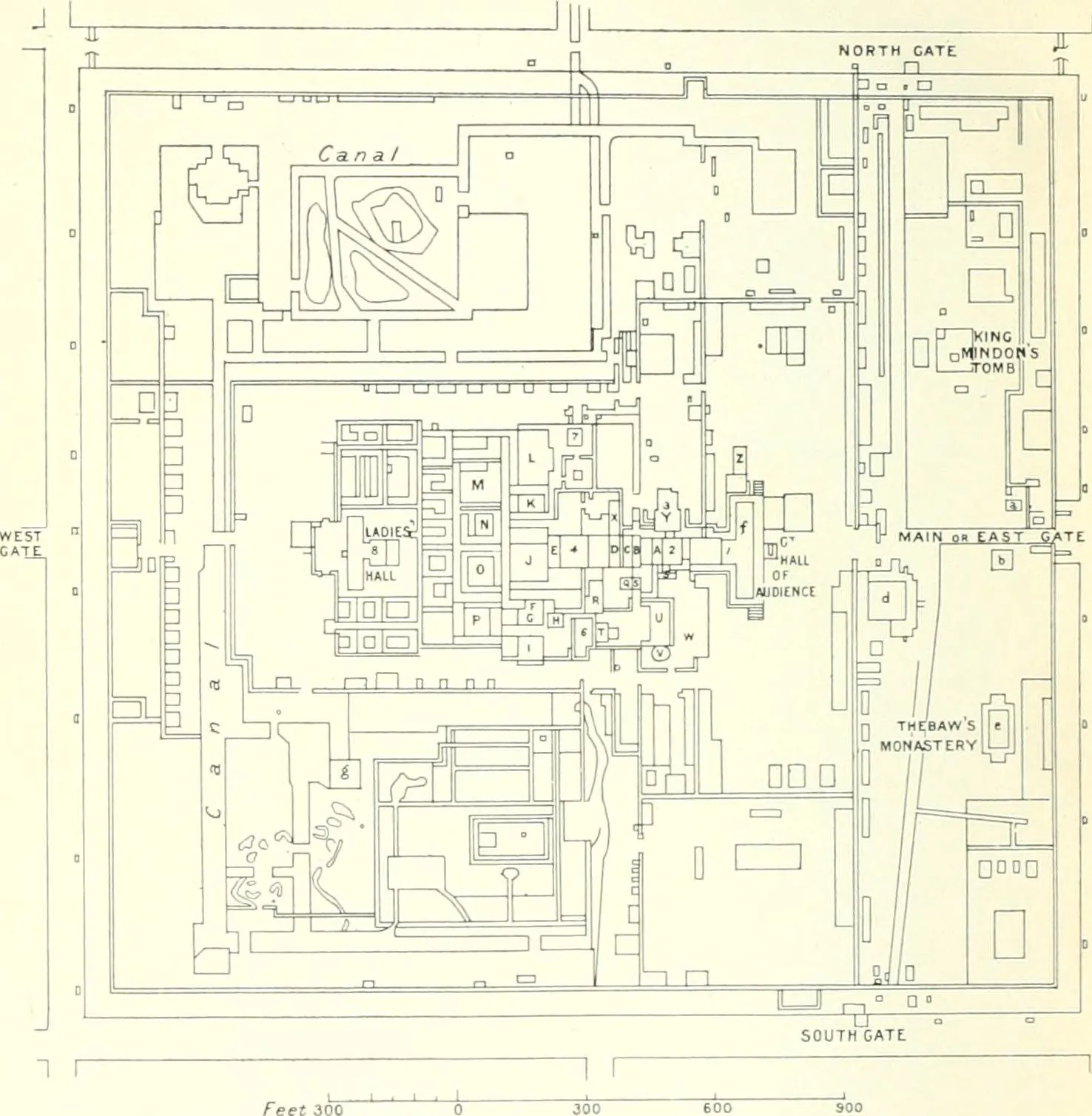
Mandalay was founded in 1857 by King Mindon of the Konbaung dynasty at the foot of Mandalay Hill, reputedly to fulfil a prophecy of a Buddhist metropolis at the 2,400th jubilee of Buddhism. Its master plan set out a grid of 144 square blocks anchored by a sixteen-block royal palace compound at the centre. The 413-hectare palace enclosure was ringed by four walls roughly two kilometres long and a wide moat, with three gates on each side, twelve in all, each marked by a sign of the zodiac. Built between 1857 and 1859, the city combined orthogonal planning with Buddhist and astrological symbolism, serving as Burma's final royal capital before British annexation in 1885.
Significance
Mandalay is one of the last great indigenous royal capitals of mainland Southeast Asia, conceived whole as a gridded citadel-city expressing Buddhist cosmology and astrological order. Its 144-block plan around a central palace, ringed by walls and a zodiac-gated moat, shows the persistence of cosmological city-building into the mid-19th century. As the final seat of the Burmese monarchy it marks the close of an era of precolonial capital design.
What became of it
Built 1857-1859 as the last royal capital of the Konbaung dynasty; the British annexed it in 1885, the palace buildings were largely destroyed by fire in 1945, and the walls, moat and grid survive with a reconstructed palace.
Critique
Scholars read the cosmologically ordered grid as a symbolic Buddhist-royal mandala rather than a functional urban plan, ill-suited to the modern city that grew around it.
What shaped it
- The grid (c. 2500 BCE)
- The imperial capital and the central axis (fullest form Ming Beijing, from 1420)
- Buddhism (c. 5th c. BCE)
- The chakravartin universal-king ideal (c. 4th c. BCE onward)
- The wheel (c. 3500 BCE)