Matera (Sassi)
Core idea
Cave-town carved into a limestone ravine, with houses, churches, and an ingenious gravity-fed cistern network terraced down the slope
Why it matters
Among the oldest continuously inhabited places on Earth; a masterclass in landscape-integrated vernacular urbanism and water harvesting
Description
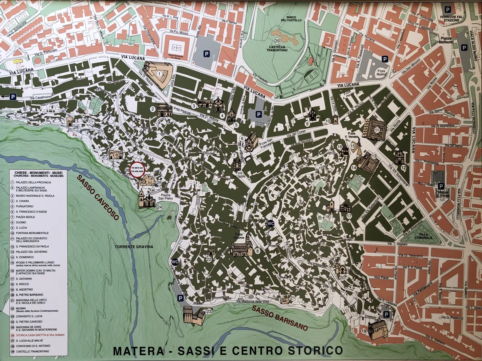
The Sassi of Matera, in the Basilicata region of southern Italy, are a vernacular cave-town excavated and built into the limestone flanks of a ravine, on a site occupied since the Palaeolithic and consolidated through the medieval period. Dwellings, rock-cut churches and stables were carved and stacked down the slope, with roofs serving as streets for the houses above, while a network of terraces and gravity-fed cisterns harvested and stored rainwater.
Significance
Matera is among the oldest continuously inhabited places on Earth and a masterclass in landscape-integrated vernacular urbanism, in which topography, climate and water shaped settlement form without formal design. Condemned as a national shame and forcibly evacuated in the 1950s, then rehabilitated and inscribed as a UNESCO World Heritage site, it has become a touchstone in debates about informality, heritage and the intelligence of pre-modern ecological adaptation.