Miami-Dade SMART Plan
Core idea
Six rapid-transit corridors
Why it matters
Reorients auto metro to transit
Description
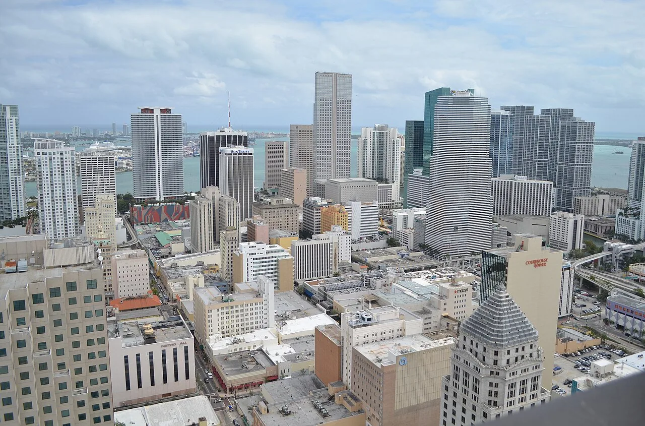
The Miami-Dade SMART Plan (Strategic Miami Area Rapid Transit), adopted by the Miami-Dade Transportation Planning Organization in 2016, identified six rapid-transit corridors for development across the county, from the South Dade Transitway to the Beach Corridor. It combined corridor-level transit investment—variously bus rapid transit, commuter rail and Metromover extensions—with supportive land-use planning around stations. The plan operates at the scale of one of the largest and most automobile-dependent metropolitan counties in the United States.
Significance
SMART is a prominent example of an auto-oriented American metropolis attempting a structural reorientation towards transit through a corridor framework rather than a single line. Its incremental delivery, including the South Dade BRT, has fed debates over mode choice, cost and land-use integration in Sun Belt transit planning, and over whether corridor plans can genuinely reshape sprawling urban form.
What shaped it
- Bus Rapid Transit (BRT) (1974)
- Transit-oriented development (TOD) (1993)
- The Transit Metropolis (Cervero) (1998)
- The urban freeway (mid-20th c.)
Sources
- https://www.miamidadetpo.org/tpo/smartplan.page
- https://miamidadetpo.org/library/smartplan-frequently-asked-questions.pdf