Montevideo POT
Core idea
Territorial development plan
Why it matters
Regional land-use integration in Uruguay
Description
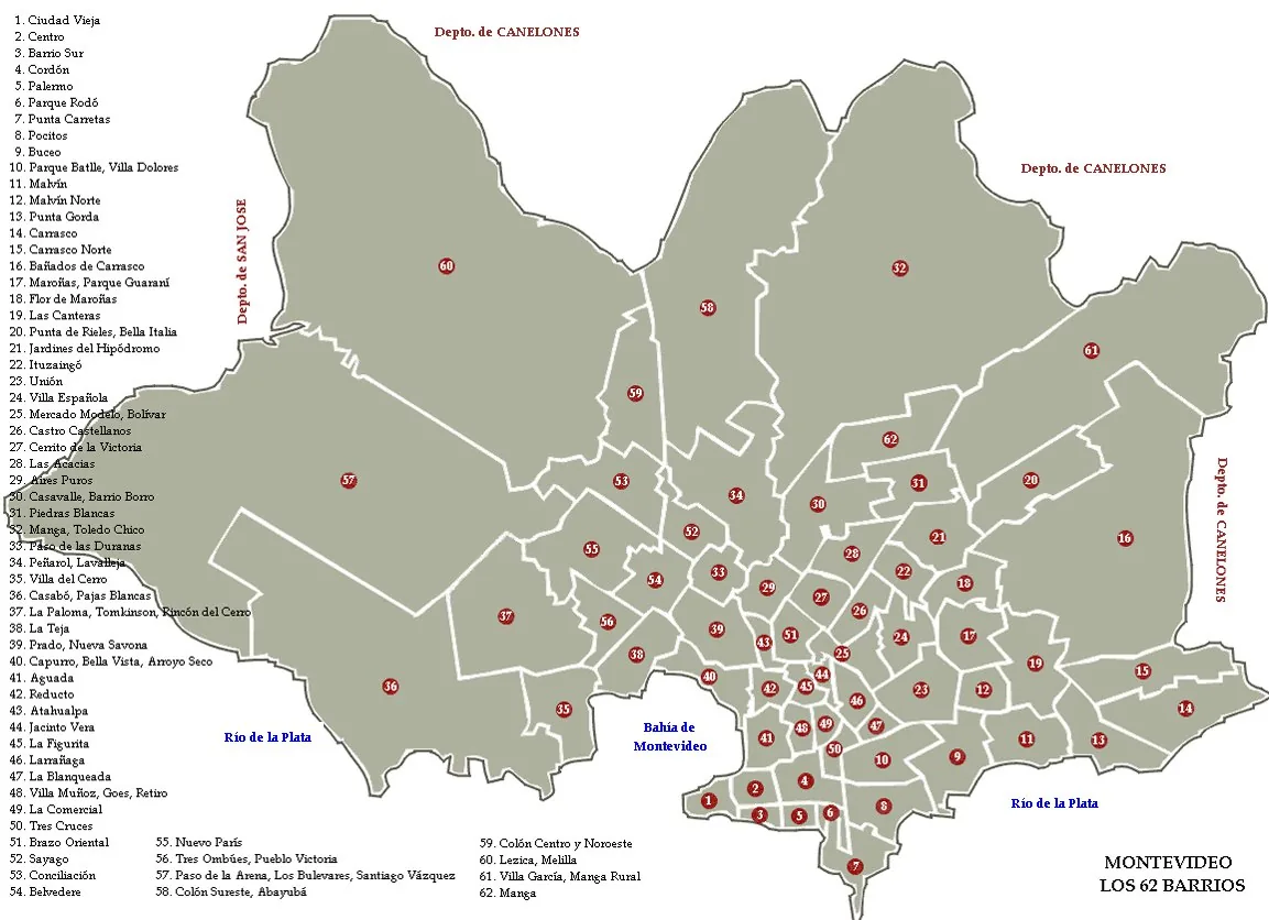
The Plan de Ordenamiento Territorial (POT) of Montevideo, adopted in 1998 by the Intendencia de Montevideo, was a territorial development plan covering the whole department, urban and rural. It established a framework of land-use zoning, urban containment, protection of productive rural and coastal areas, and structuring of the city through centralities and corridors, following the decentralisation reforms of the early 1990s.
Significance
The POT was a pioneering instance of comprehensive territorial planning in Uruguay, integrating regional land-use, environmental and urban questions in a single instrument. It is cited in Latin American planning literature as part of the 1990s wave of democratically grounded municipal plans that combined statutory zoning with strategic spatial visions.
What shaped it
- The master plan (early 20th c.)
- Zoning (1884 Germany / 1916 NYC)
- Le Droit a la ville (Lefebvre) (1968)
- GIS / digital cadastre (1960s–)
Sources
- https://montevideo.gub.uy/areas-tematicas/planificacion/ordenamiento-territorial/plan-montevideo
- https://www.ub.edu/geocrit/b3w-209.htm