Muscat Structure Plan
Core idea
Coastal nodes, wadi protection
Why it matters
Balances growth and fragile ecologies
Description
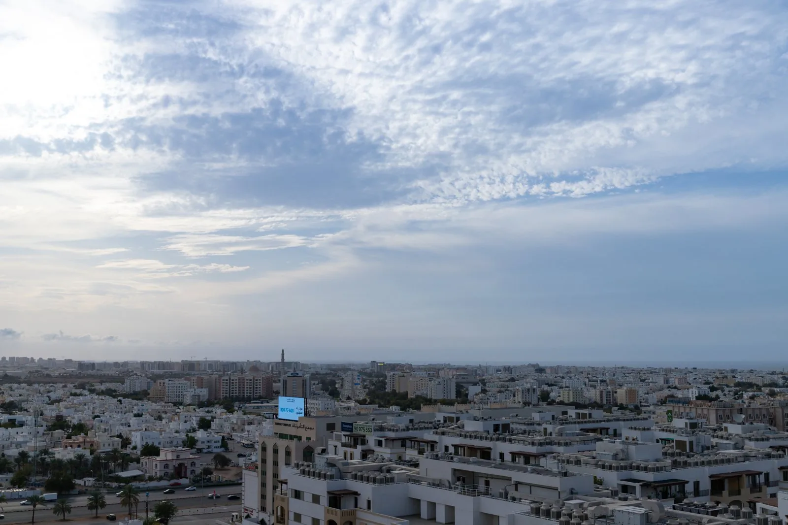
A structure plan for Muscat prepared within the framework of the Oman National Spatial Strategy together with Muscat Municipality. It organises the elongated coastal capital as a series of nodes along the Gulf of Oman, constrained by the Hajar mountains, and seeks to concentrate growth while protecting wadis, coastal ecologies and drainage corridors that expose the city to flash flooding and cyclones. The plan addresses a metropolitan area that has grown from a small port into a dispersed, car-based capital within two generations.
Significance
The plan reflects a distinctly Omani version of Gulf urbanism, favouring restrained, landscape-conscious growth over the spectacle-driven models of neighbouring states. Its attention to wadi protection and fragile coastal ecologies places it within the wider turn of Middle Eastern planning towards resilience, and it illustrates the role of new national spatial strategies in structuring Gulf capital regions.
What shaped it
- UN 2030 Agenda & Sustainable Development Goals (2015)
- SDG 11 — Sustainable Cities (2015)
- Urban resilience (2013)
Sources
- https://mohup.gov.om/en/projects/structural-plans/msxzkhjf6iasb66x6md4u046?type=structural
- https://www.omanobserver.om/article/1189230/oman/community/greater-muscat-structure-plan-launche