Nagpur Development Plan 2032
Core idea
Metro, MIHAN logistics, ring roads
Why it matters
Freight-led growth structure
Description
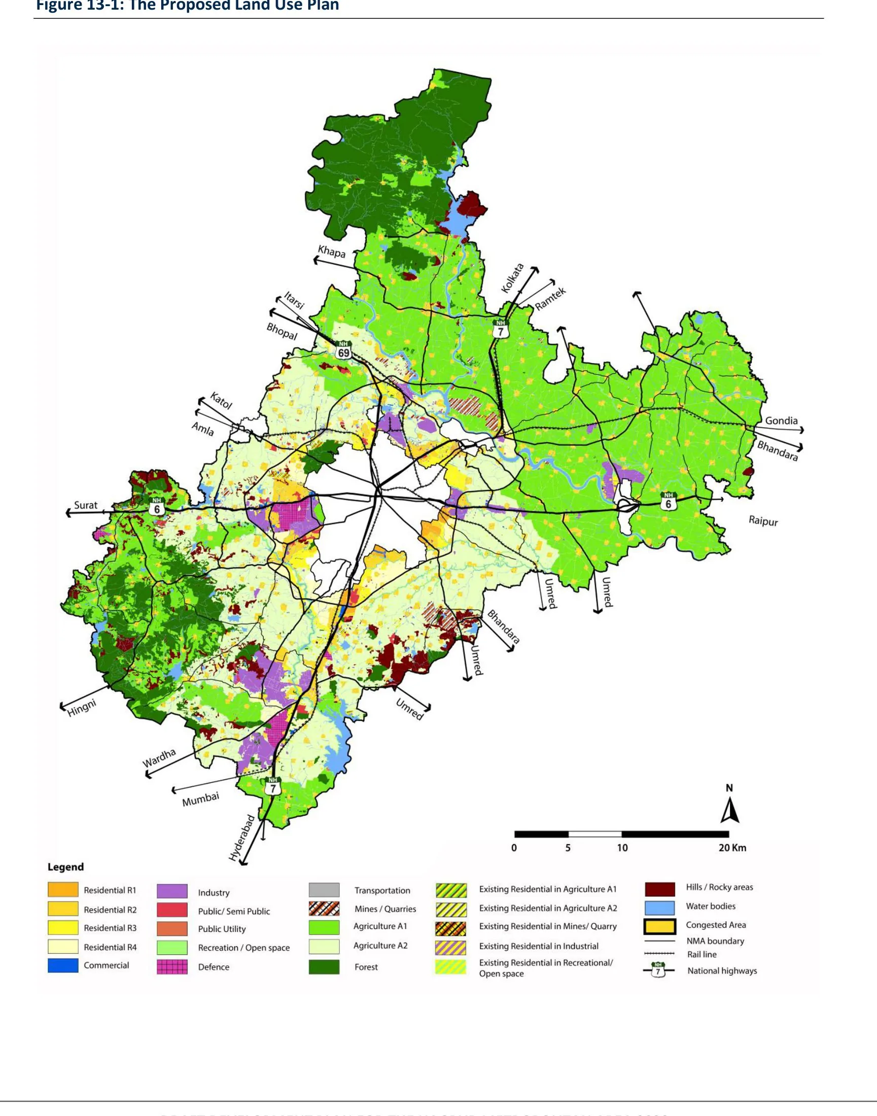
The Nagpur Development Plan 2032, prepared in 2012 under the Nagpur Improvement Trust and associated agencies, is the statutory development plan for the central Indian city of Nagpur, Maharashtra. Its structure rests on major infrastructure: the MIHAN multi-modal international cargo hub and airport project with its special economic zone, a new metro system, and ring roads organising peripheral growth. The plan positions Nagpur, located near the geographic centre of India, as a logistics and freight-led growth node.
Significance
The plan illustrates Indian development planning's turn towards infrastructure-led and logistics-driven urban strategies, with MIHAN among the country's most ambitious airport-centred economic projects. It raises characteristic questions about land acquisition, the gap between statutory plans and project-driven growth, and the coordination of parastatal agencies. Nagpur's case is used in discussions of how second-tier Indian cities compete for investment through connectivity.
What shaped it
- Bus Rapid Transit (BRT) (1974)
- Transit-oriented development (TOD) (1993)
- Planetary urbanisation (Brenner & Schmid) (2011-2014)
- The master plan (early 20th c.)
Sources
- http://www.nmrda.org/pdf/Draft_DCR_Modification_Pages.pdf
- https://en.wikipedia.org/wiki/Nagpur_Improvement_Trust