Raleigh Unified Dev. Ordinance/Comp Plan
Core idea
Form-based code + BRT
Why it matters
Southeast US urban design-led growth
Description
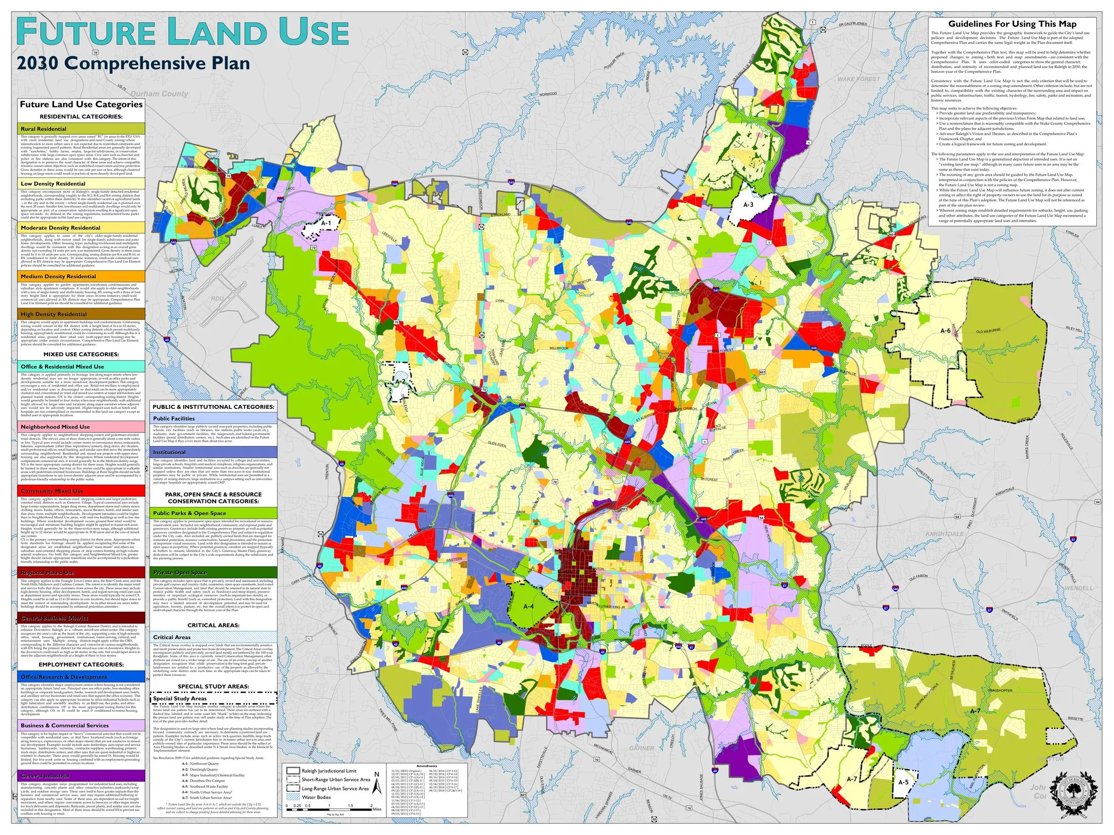
A paired regulatory and policy overhaul for Raleigh, North Carolina, in which the city adopted a Unified Development Ordinance in 2013 to consolidate its zoning and development rules into a largely form-based code, followed by an updated comprehensive plan in 2019. Prepared by the City of Raleigh, the framework channels growth into mixed-use centres and transit corridors, tying higher-intensity development to a planned bus rapid transit network under the wider Wake County transit programme. It covers the whole municipality, replacing use-based suburban zoning with standards that regulate building form, frontage and streetscape.
Significance
Raleigh's ordinance is frequently cited as one of the more ambitious form-based code adoptions by a large, fast-growing Sun Belt city, demonstrating that design-led regulation could be applied beyond small-town New Urbanist projects. It marks the Southeast United States' turn towards transit-oriented, corridor-focused growth management in a region long defined by low-density sprawl, and it has informed comparable code reforms in peer cities.
What shaped it
- The Next American Metropolis / Charter of the New Urbanism (1993 / 1996)
- Bus Rapid Transit (BRT) (1974)
- Transit-oriented development (TOD) (1993)
Sources
- https://formbasedcodes.org/codes/raleigh-unified-development-ordinance/
- https://natlawreview.com/article/raleigh-s-new-form-based-unified-development-ordinance-takes-ef