Santa Cruz de la Sierra PLOT
Core idea
Radial-perimeter with BRT corridors
Why it matters
Fastest-growing Bolivian metro organization
Description
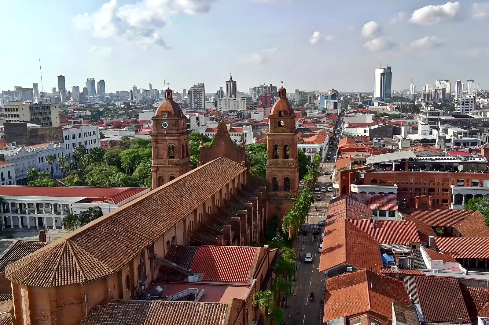
The Plan de Ordenamiento Territorial (PLOT) of Santa Cruz de la Sierra, adopted by the city's municipal government in 2005, provided a territorial ordering framework for Bolivia's largest and fastest-growing metropolis. It worked with the city's distinctive radial-concentric structure of anillos (ring roads) and radial avenues, inherited from the 1960s Techint plan, and proposed bus rapid transit corridors and land-use regulation to structure explosive peripheral expansion. The plan operates at the scale of a lowland city growing by informal subdivision well beyond its planned rings.
Significance
The PLOT illustrates the struggle of Latin American secondary cities to update mid-century modernist plans in the face of rapid, largely market- and migration-driven growth. Santa Cruz's ring-radial form remains one of the continent's clearest examples of a planned macro-structure overtaken by informal urbanisation, making the PLOT a frequent reference in debates on metropolitan governance and transport-led restructuring in Bolivia.
What shaped it
- Bus Rapid Transit (BRT) (1974)
- The boulevard (17th–19th c.)
- Brazil's City Statute (Estatuto da Cidade) (2001)
Sources
- https://estadistica.gmsantacruz.gob.bo/plan-de-ordenamiento-urbano-territorial/
- http://www.scielo.org.bo/scielo.php?script=sci_arttext&pid=S1990-74512014000200004