Santiago PRMS 100
Core idea
Metropolitan regulatory plan with UGB
Why it matters
Containment + densification
Description
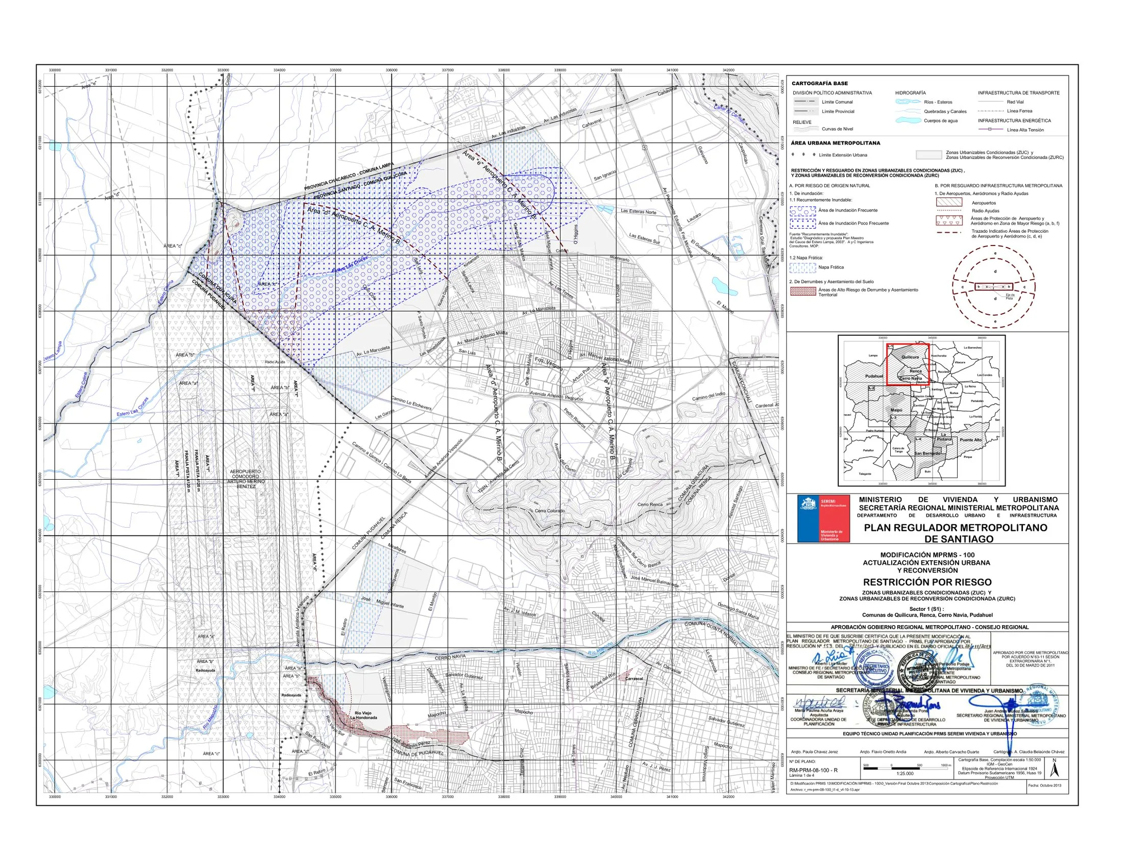
PRMS 100 is the 2013 modification to the Plano Regulador Metropolitano de Santiago, the metropolitan regulatory plan for Chile's capital, prepared under the Ministry of Housing and Urbanism (MINVU). It extended the urban limit to incorporate roughly 10,000 hectares of new development land on the periphery while imposing conditions on developers, including requirements for social housing quotas, green areas and infrastructure in the newly incorporated zones. The plan operates as the binding regulatory framework governing land use and the urban growth boundary across Greater Santiago.
Significance
PRMS 100 crystallised the Chilean debate between urban containment and conditioned expansion, attempting to reconcile a growth boundary with market-led peripheral development through 'conditional urbanisation' obligations. It is significant as an instrument of metropolitan-scale regulation in one of Latin America's most market-oriented planning systems, and it drew sustained criticism from advocates of densification who saw it as sanctioning sprawl and socio-spatial segregation. It remains a key reference in Latin American debates on growth boundaries and land policy.
What shaped it
- The green belt (1898 concept / 1938 law)
- The compact city (1973-1990s)
- Zoning (1884 Germany / 1916 NYC)
Sources
- https://metropolitana.minvu.gob.cl/wp-content/uploads/2013/09/2.1.1.3.6.1-memoria-explicativa.pd
- https://hub.arcgis.com/datasets/d6a6552275f841559a6a572b85f47b17_0/about