Stockholm Hagastaden
Core idea
Decking over E4 to knit Stockholm–Solna with life sciences hub
Why it matters
Strategic health/tech urban district
Description
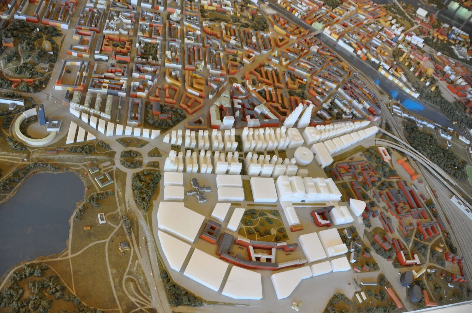
Hagastaden is a large urban extension begun around 2010 on the boundary between Stockholm and Solna, planned by the City of Stockholm with Solna and regional partners. Its defining move is the decking over of the E4/E20 motorway and rail corridor to create buildable land that knits the two municipalities together. On and around the deck, a dense mixed district of housing, offices and research facilities is organised around the Karolinska Institute and the New Karolinska hospital as a life-sciences hub.
Significance
Hagastaden exemplifies the European strategy of using costly infrastructure decking to heal urban severance while capturing land value in high-demand inner locations. It is also a leading case of deliberately planned innovation-district urbanism, in which a city stakes a district's identity on a knowledge cluster, and it features in debates on the cost, density and social mix of such flagship quarters.
What shaped it
- Transit-oriented development (TOD) (1993)
- The urban freeway (mid-20th c.)
- The compact city (1973-1990s)
Sources
- https://vaxer.stockholm/en/areas/city-development-areas/hagastaden/
- https://www.wsp.com/en-gl/projects/norra-station-hagastaden