Surat Development Plan 2035
Core idea
Ring/corridor growth, flood resilience
Why it matters
Manages rapid industrial growth
Description
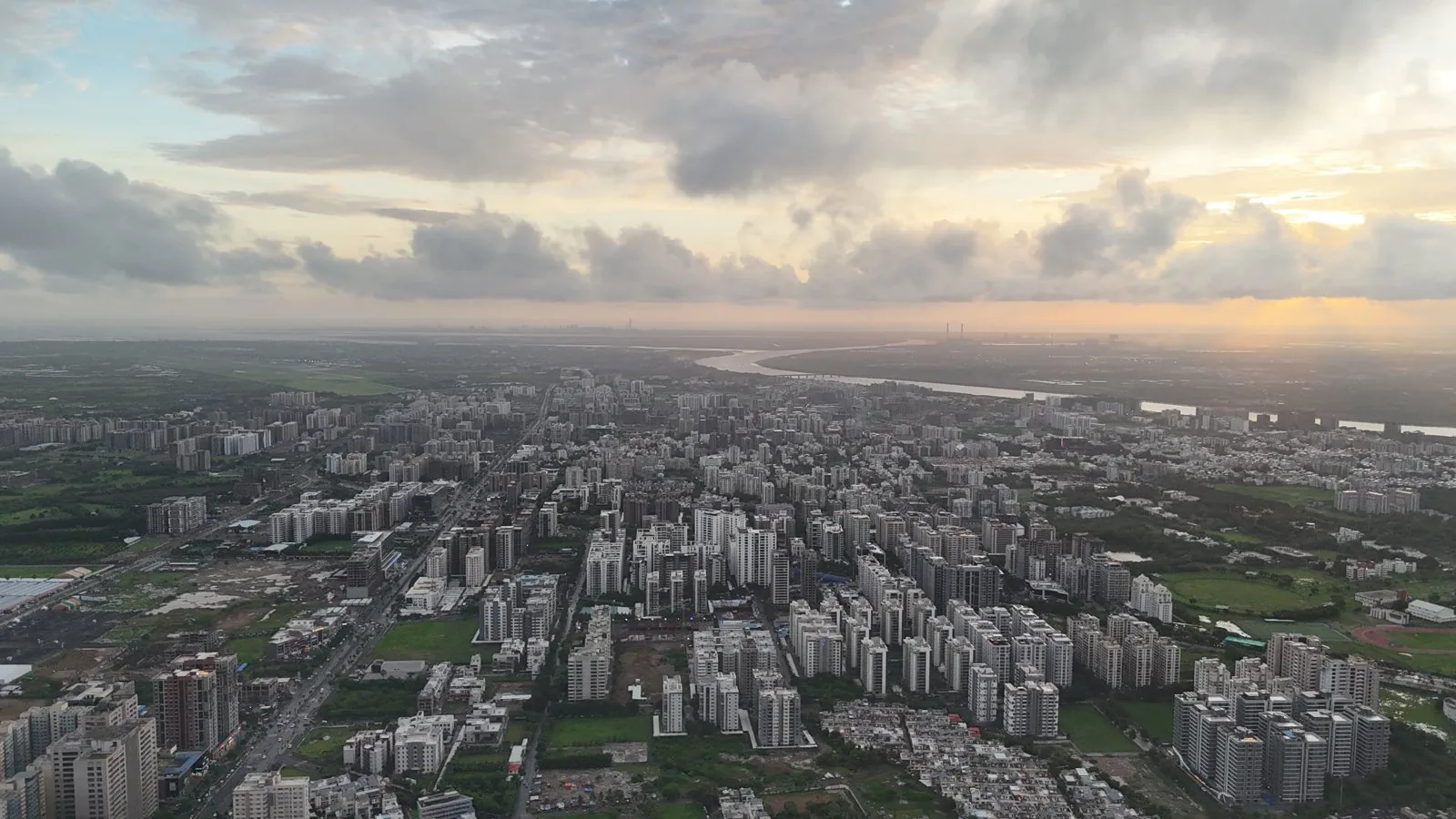
The Surat Development Plan 2035, prepared by the Surat Urban Development Authority and sanctioned in 2017, guides the expansion of one of India's fastest-growing industrial cities, a centre of diamond processing and textiles on the Tapi river. It organises growth through ring and radial corridors and reserved development zones, while incorporating flood-resilience measures in a city that suffered a devastating flood in 2006. The plan works within Gujarat's town planning scheme tradition of land pooling and readjustment to service newly urbanising areas.
Significance
Surat's plan is often cited as an example of comparatively effective Indian statutory planning, combining Gujarat's town planning scheme mechanism with proactive flood management and epidemic-era public-health reform legacies. It demonstrates how rapid industrial urbanisation can be given infrastructural order, though pressures of informal growth and environmental risk on the Tapi floodplain remain live concerns.
What shaped it
- Urban resilience (2013)
- Transit-oriented development (TOD) (1993)
- The master plan (early 20th c.)
- SDG 11 — Sustainable Cities (2015)
Sources
- https://www.sudaonline.org/wp-content/uploads/2017/03/SUDA-DP-2035-report-final-22.02.2017.pdf
- https://www.sudaonline.org/development-plans/development-plan-2035/