Taxila (Sirkap)
Core idea
Hellenistic grid plan in the Gandharan context — merging Greek and South Asian spatial traditions
Why it matters
Earliest evidence of East-West urban planning exchange; Gandharan crossroads of Buddhist and Greek traditions
Description
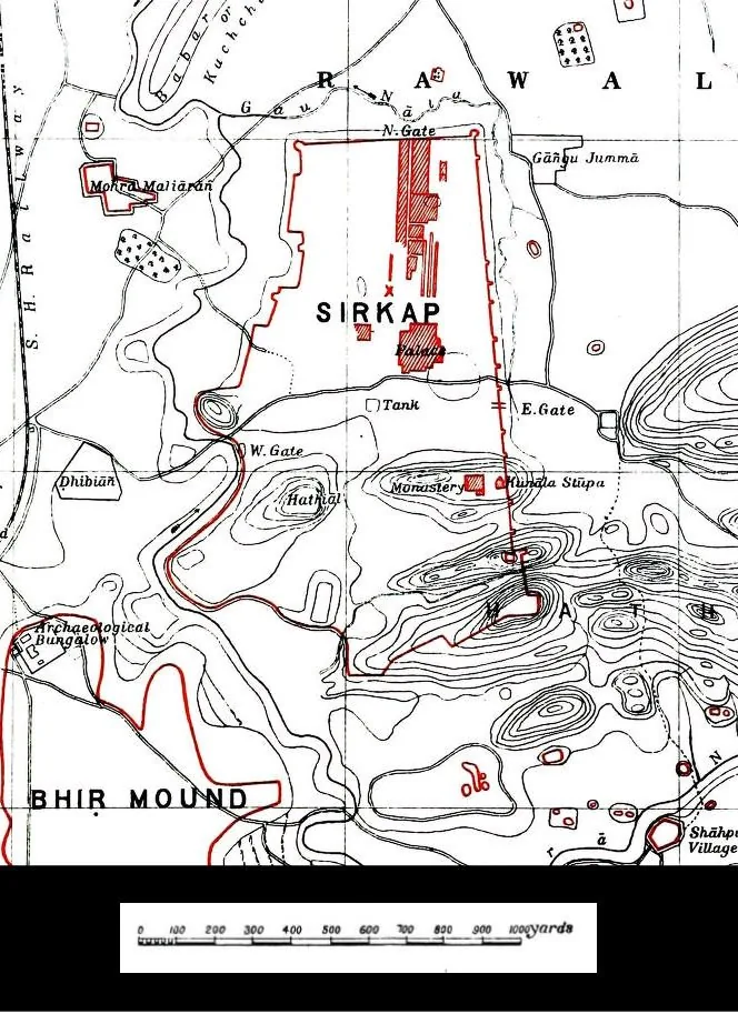
Sirkap, at Taxila in present-day Pakistan, was laid out around the second century BCE by Indo-Greek rulers, traditionally associated with the Bactrian king Demetrius. The city followed a Hellenistic plan, with a long straight main street, rectangular blocks and a fortification wall, into which were woven Buddhist stupas, Jain shrines and South Asian courtyard houses. It formed one of several successive city sites at Taxila, a major node on routes linking Central Asia, India and the Iranian world.
Significance
Sirkap provides the earliest clear evidence of an exchange of urban planning ideas between the Mediterranean and South Asia, with a Greek grid accommodating Indian religious and domestic life. As part of the Gandharan crossroads where Buddhist and Hellenistic traditions met, it is a key example for histories of cross-cultural urbanism and of how planning models travel and hybridise.
What shaped it
- The grid (c. 2500 BCE)
- The plaza / forum / agora (c. 500 BCE)
- Greek philosophy (5th–4th c. BCE)
- The Buddhist stupa and vihara settlement (c. 3rd c. BCE onward)
Sources
- https://heritageofpakistan.org/punjab/sirkap-taxila/
- http://www.academia.edu/572125/_The_Greek_Grid-Plan_at_Sirkap_Taxila_and_the_Question_of_Greek_I