Tbilisi Golovinsky Prospekt and Garetubani Europeanisation (Vorontsov)
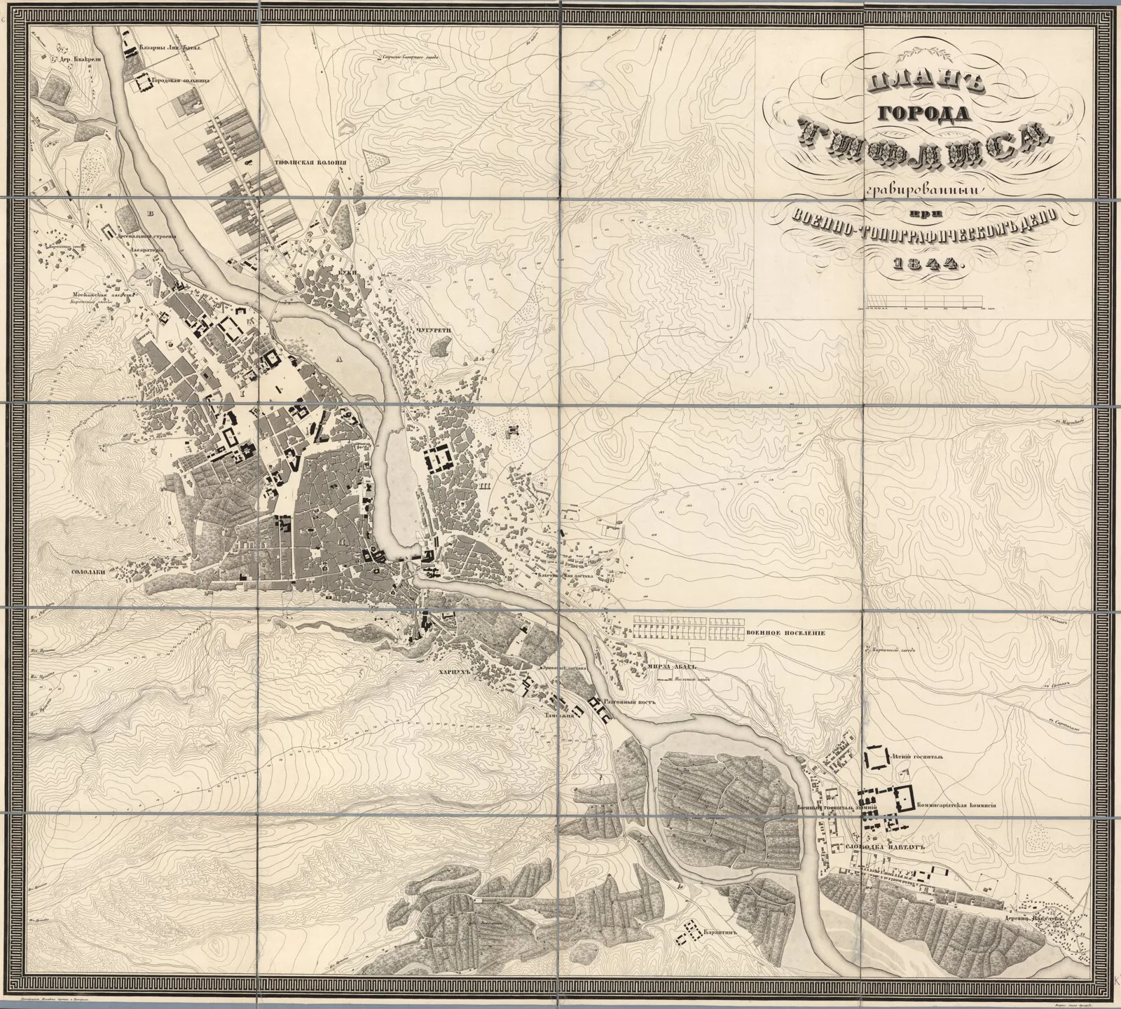
Core idea
A Russian imperial boulevard and district regularisation that Europeanised the Persian-style Georgian capital.
Why it matters
Created the ceremonial axis around which modern central Tbilisi developed.
Description
From the mid-1840s, the Russian viceroy of the Caucasus, Mikhail Vorontsov, directed the laying out of a wide new avenue, Golovinsky Prospekt (today Rustaveli Avenue), through the Garetubani district immediately beyond Tbilisi's old defensive walls. The project regularised this formerly peripheral 'outer' area with a broad straight thoroughfare lined by administrative, cultural and residential buildings in European styles. It formed part of a wider effort to Europeanise the Persian-influenced fabric of the Georgian capital, introducing a planned, monumental urban quarter alongside the dense medieval old town and shifting the city's representative centre onto the new axis.
Significance
The avenue and the regularisation of Garetubani gave Tbilisi a European ceremonial spine that became the cultural and political heart of the modern city. It exemplifies how imperial Russia reshaped Caucasian capitals through axial planning and architecture. Renamed for the poet Shota Rustaveli in 1918, the street remains central to Georgian civic life and identity.
What shaped it
- Achaemenid Persian Empire (c. 550–330 BCE)
- Romanticism & the Picturesque (late 18th-19th c.)
Sources
- https://en.wikipedia.org/wiki/Rustaveli_Avenue
- https://www.farig.org/images/pdfs/research-architecture-tbilisi.pdf