Third Regional Plan for New York
Core idea
Smart growth, centers, open space network
Why it matters
Popularized sustainable regionalism
Description
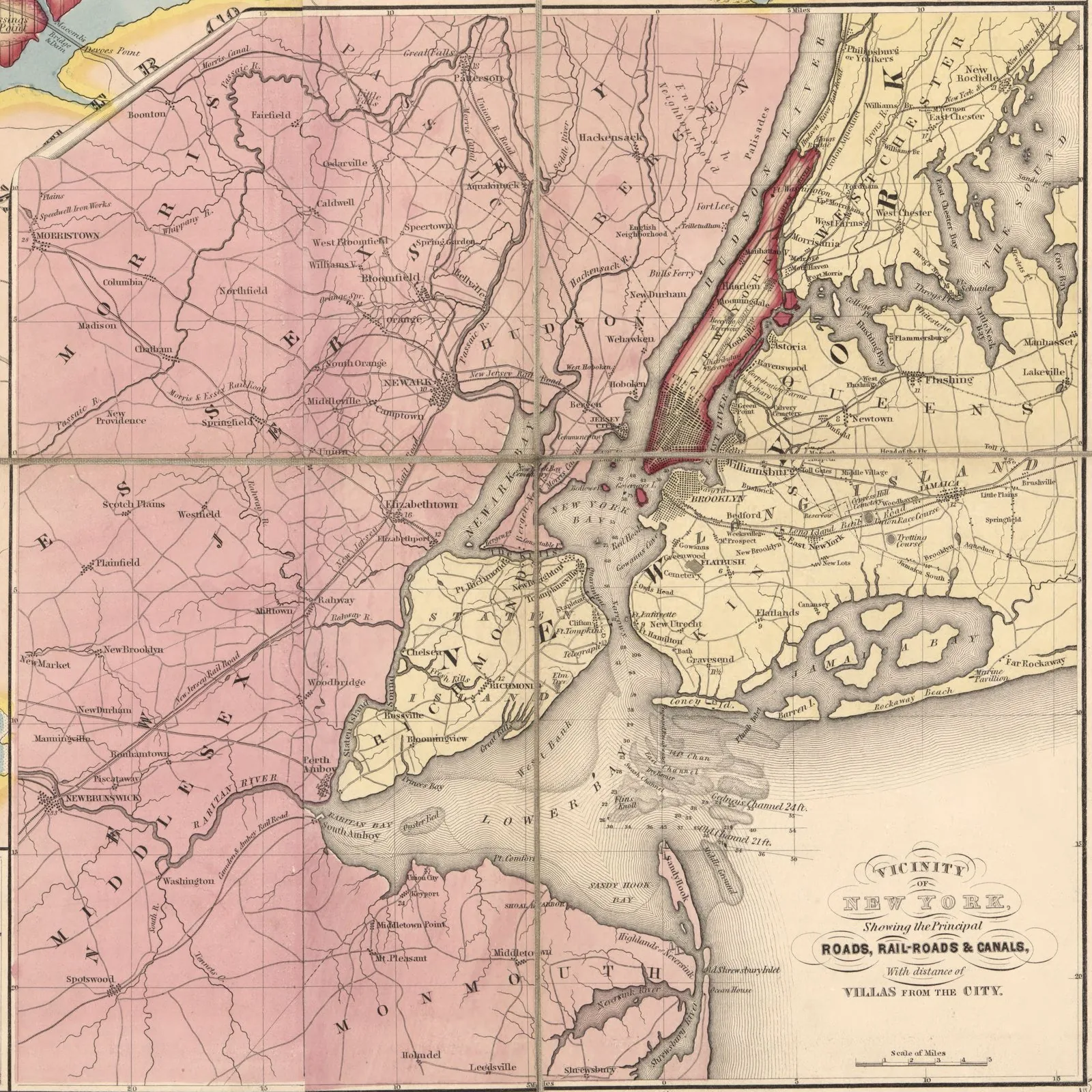
A Region at Risk, the Third Regional Plan for the New York-New Jersey-Connecticut metropolitan area, was published in 1996 by the Regional Plan Association, the civic organisation that had produced regional plans in 1929 and 1968. Framed around the 'three E's' of economy, equity and environment, it proposed five campaigns including a regional greensward of protected open space, reinvestment in a network of urban centres, and major transit expansions such as new trans-Hudson rail capacity and better airport access.
Significance
The plan helped popularise sustainable regionalism in the United States, joining growth management, open-space networks and transit investment into a single metropolitan agenda ahead of the smart growth movement's peak. As an advocacy plan without statutory force, it exemplifies the American tradition of civic regional planning, and several of its proposals, from Moynihan Station to the Highlands protection and Second Avenue subway, eventually advanced. It is a standard reference in debates on polycentric metropolitan structure.
What shaped it
- The compact city (1973-1990s)
- Transit-oriented development (TOD) (1993)
- The green belt (1898 concept / 1938 law)
- Sustainable development (Brundtland) (1987)
- The Next American Metropolis / Charter of the New Urbanism (1993 / 1996)
Plans it influenced
Sources
- https://rpa.org/work/reports/a-region-at-risk-the-third-regional-plan
- https://en.wikipedia.org/wiki/Regional_Plan_Association