Utrecht Ruimtelijke Strategie 2040
Core idea
Station-area intensification, green-blue network
Why it matters
Compact growth with strong active mobility
Description
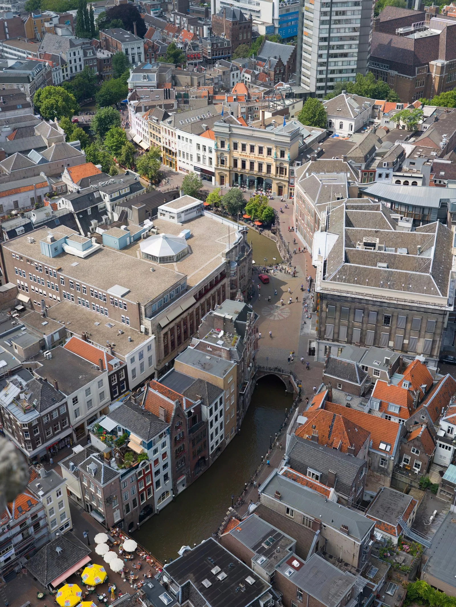
A spatial strategy for Utrecht, in the Netherlands, adopted by the Gemeente Utrecht in 2021 with a horizon of 2040. It channels substantial growth into intensification around station areas — above all the redeveloped Utrecht Centraal and planned nodes such as Lunetten-Koningsweg — while protecting and extending a green-blue network of parks and watercourses, under the motto of healthy urban living. Cycling and public transport carry the growth, with the city committed to barcode-dense, mixed-use station districts rather than peripheral expansion.
Significance
Utrecht exemplifies the contemporary Dutch model of compact, transit- and cycling-based intensification, extending the lineage of Randstad growth management into an era of health- and climate-led planning. It is widely referenced in European debates on how mid-sized cities can absorb rapid growth without sprawl, and on the integration of ecological networks with dense urban development.
What shaped it
- Transit-oriented development (TOD) (1993)
- The compact city (1973-1990s)
- Urban resilience (2013)
- The 15-Minute City (2016)
Sources
- https://omgevingsvisie.utrecht.nl/de-koers/ruimtelijke-strategie-2040
- https://utrecht.bestuurlijkeinformatie.nl/Document/View/ee1ccb9a-c768-4152-8400-a7e658b1b54a