Vilnius Master Plan 2030
Core idea
Densification corridors & green structure
Why it matters
Baltic urban model post-EU accession
Description
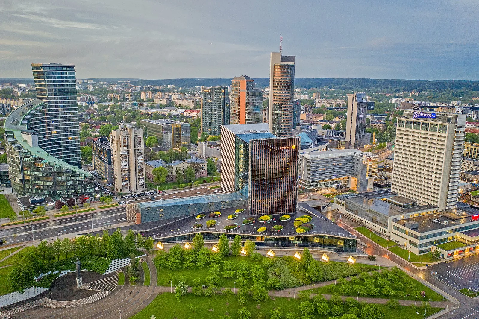
The Vilnius Master Plan 2030 is the comprehensive plan for the Lithuanian capital, prepared by the city from 2018. It directs growth inward through densification along public transport corridors, sets height and intensity zones, and protects the city's extensive green structure of forests, slopes and river valleys. The plan aims to curb the sprawl that followed post-Soviet restitution of land and to consolidate a compact, serviceable city.
Significance
The plan is a marker of the Baltic capitals' planning maturation after EU accession, shifting from laissez-faire suburbanisation to corridor-based compact-city policy. It shows how post-socialist cities have adapted Western European instruments — green structure planning, transit corridors, densification — to landscapes shaped by privatisation and dispersed ownership. Its significance is debated chiefly around implementation capacity and the tension between densification and Vilnius's valued natural setting.
What shaped it
- Transit-oriented development (TOD) (1993)
- The green belt (1898 concept / 1938 law)
- The compact city (1973-1990s)
- The master plan (early 20th c.)
Sources
- https://vilnius.lt/lt/urban_development_category/bendrasis-planas/
- https://www.lrt.lt/naujienos/verslas/4/1423455/vilnius-pradeda-nauja-etapa-su-vizija-iki-2030-uj