Visakhapatnam Master Plan 2041
Core idea
Industrial corridors & coastal resilience
Why it matters
Port–industry mega-region organization
Description
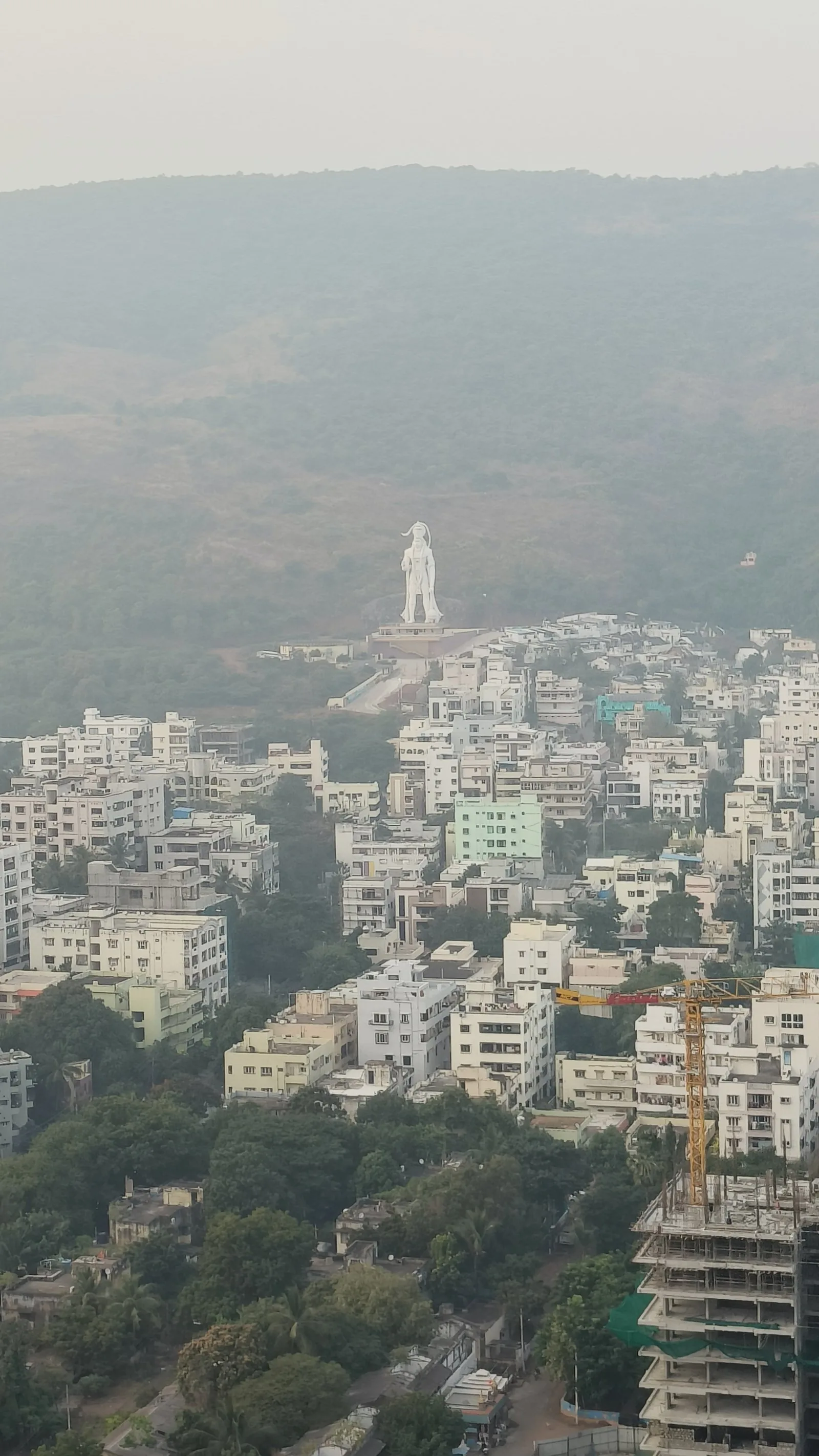
The Visakhapatnam Master Plan 2041 is a statutory development plan for the port city and its metropolitan region on India's east coast, prepared through the urban development authority and municipal corporation. It structures growth around industrial and logistics corridors linked to the port and the wider Visakhapatnam–Chennai industrial corridor, while incorporating coastal-resilience measures in a city severely damaged by Cyclone Hudhud in 2014. The plan addresses land use, transport networks and hazard zones across a large port–industry region.
Significance
The plan exemplifies contemporary Indian efforts to organise port-led mega-regions, where national industrial-corridor programmes intersect with municipal land-use planning. Its attention to cyclone and coastal risk marks the growing integration of disaster resilience into Indian statutory planning after Hudhud. Visakhapatnam's elevation within Andhra Pradesh's post-bifurcation urban strategy gives the plan added weight in debates about polycentric state development.
What shaped it
- The master plan (early 20th c.)
- Urban resilience (2013)
- China's Belt and Road Initiative (2013)
- UN 2030 Agenda & Sustainable Development Goals (2015)
Sources
- https://www.constructionworld.in/policy-updates-and-economic-news/visakhapatnam-prepares-draft-m
- http://vmrdamasterplan.blogspot.com/2017/08/a-brief-note-on-master-plan-for.html