Windhoek Structure Plan
Core idea
Infill and expansion with arid constraints
Why it matters
Guides capital city growth
Description
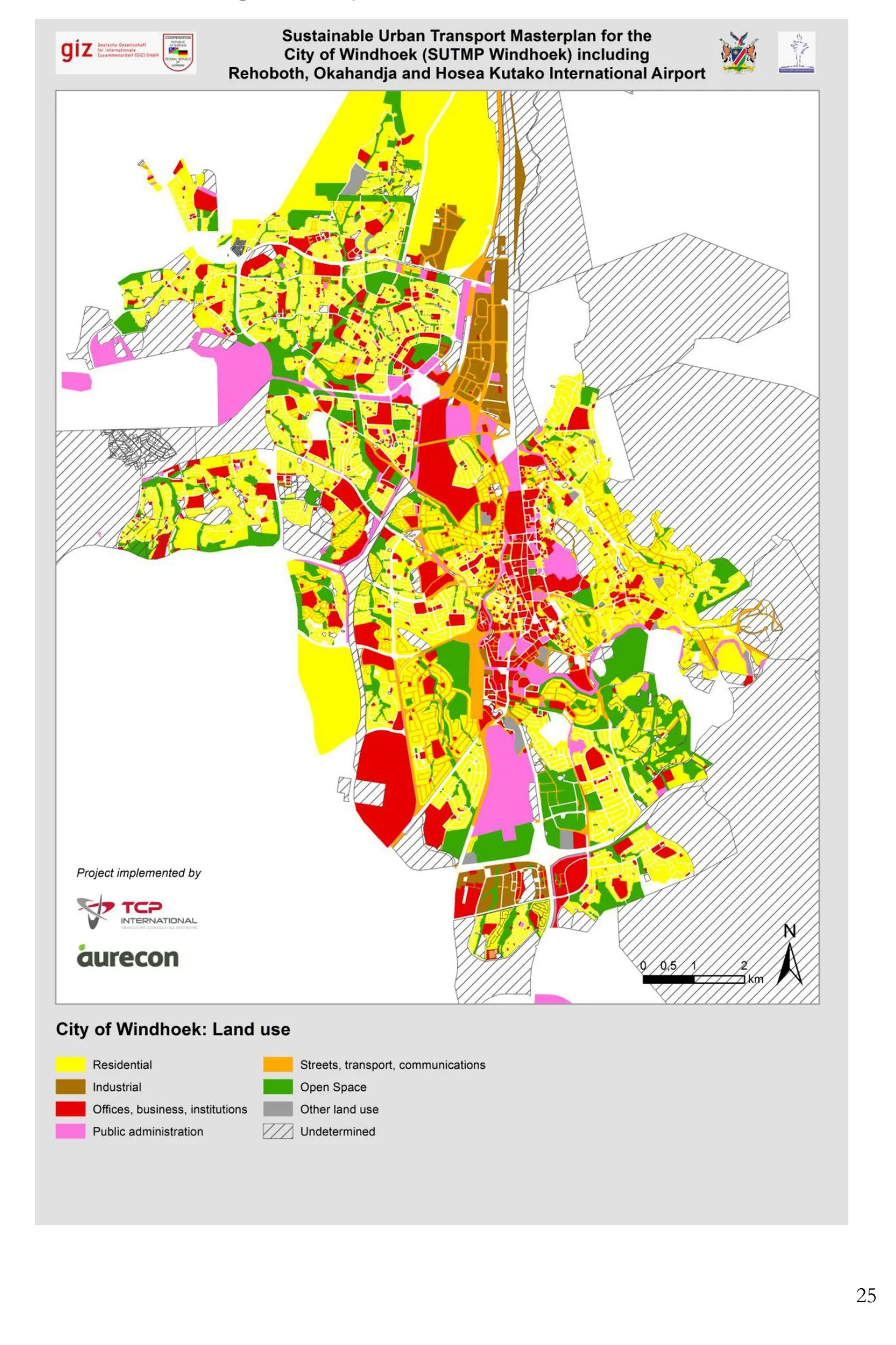
The Windhoek Structure Plan of 2011 is a citywide spatial framework prepared by the City of Windhoek to guide the growth of the Namibian capital. It promotes infill and densification of the existing urban area alongside managed expansion, explicitly working within the constraints of an arid environment, limited water resources and the city's hilly topography. The plan addresses the location of new residential areas, including provision for low-income settlement, and the alignment of infrastructure investment with a compact urban form.
Significance
The plan reflects the challenges of capital-city planning in post-independence southern Africa, where rapid in-migration and informal settlement growth confront severe environmental limits. Windhoek's emphasis on structured expansion and servicing of low-income areas has been noted in debates on incremental upgrading and land delivery in the region. It also illustrates the persistence of the structure-plan instrument, inherited from earlier planning traditions, as a strategic tool in African cities.
What shaped it
- The master plan (early 20th c.)
- The compact city (1973-1990s)
Sources
- https://www.windhoekcc.org.na/wp-content/uploads/2026/02/Windhoek-Structure-Plan-October-1996.pd
- https://windhoeksdf.com/