Amsterdam Zuidas
Core idea
High-density business district over rail/road
Why it matters
Transit-oriented European CBD
Description
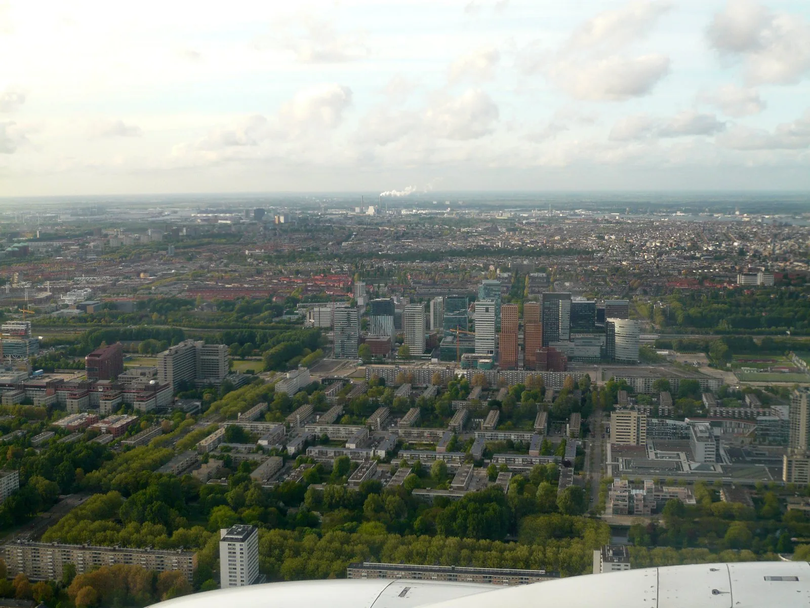
Amsterdam Zuidas is a high-density international business district developed from 1998 around Zuid station on the city's southern ring, at the meeting point of motorway, rail and metro corridors. Planned by a dedicated Zuidas development office of the municipality, the scheme concentrates offices, housing, courts and university functions in a compact grid, with the long-debated 'dok' model proposing to place the A10 motorway and rail infrastructure below ground to free land for urban fabric.
Significance
Zuidas exemplifies the transit-oriented European central business district, locating corporate growth on infrastructure rather than in the historic core. It has featured prominently in debates on polycentric metropolitan development, on financing infrastructure undergrounding, and on introducing housing and street life into office-led districts.
What shaped it
- The skyscraper (1885)
- Transit-oriented development (TOD) (1993)
- The metro / underground railway (1863)