Ancient City of Polonnaruwa
Core idea
A planned Sinhalese capital integrating royal palace, sacred precinct and a vast reservoir as moat and irrigation core.
Why it matters
Unites hydraulic engineering, kingship and Buddhist monumentality in a single planned medieval capital.
Description
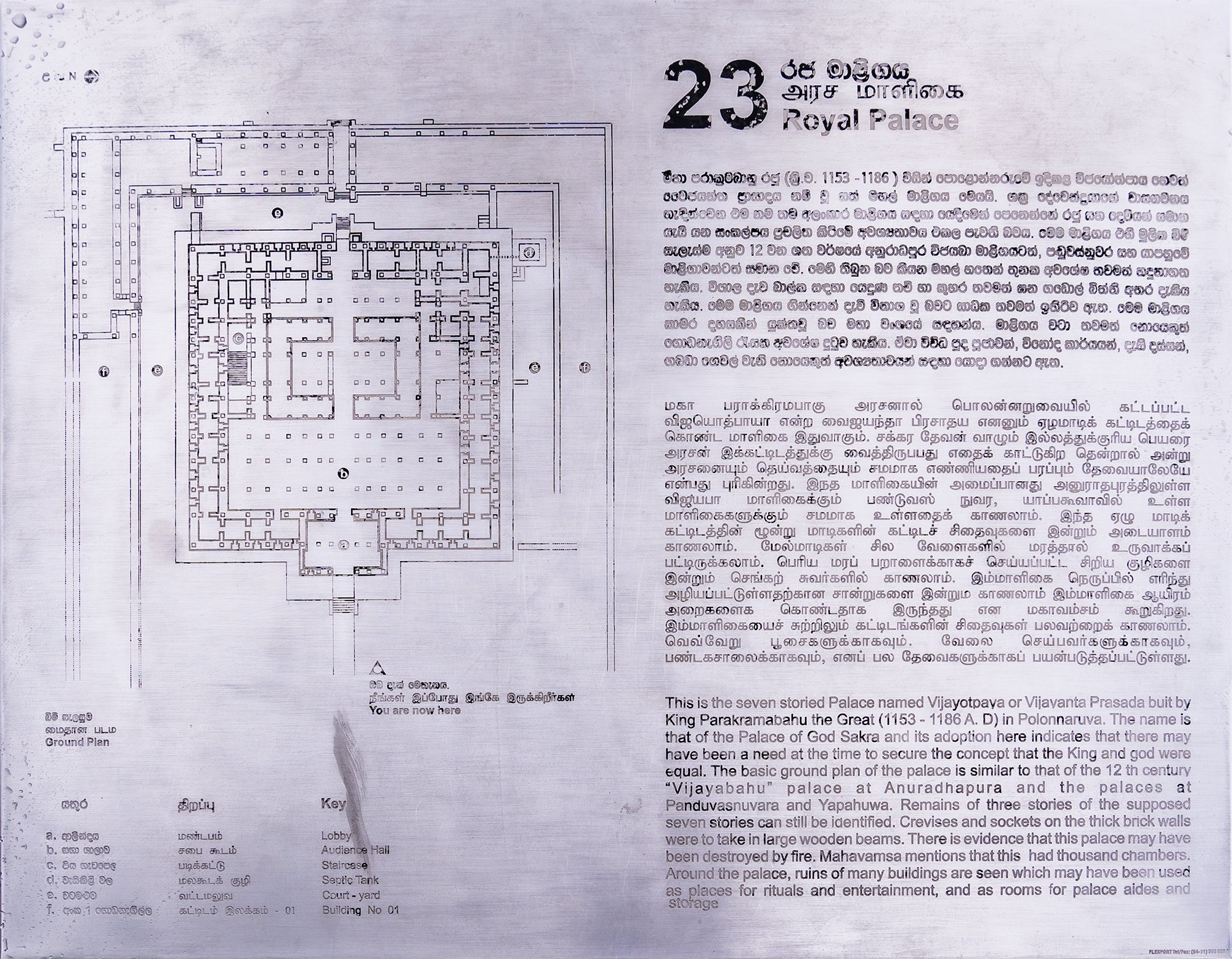
Polonnaruwa, in north-central Sri Lanka, served as the island's royal capital during the eleventh to thirteenth centuries, reaching its height under Parakramabahu I, who reigned from 1153 to 1186. The planned city integrates a royal palace complex, the densely built Sacred Quadrangle with its Vatadage and other shrines, and extensive monastic and civic precincts. Its defining feature is the Parakrama Samudra, an artificial reservoir of more than fifteen square kilometres retained by a dam some fourteen kilometres long, which supplied an intricate network of irrigation canals while encircling the city as a defensive moat. The arrangement bound together palace, sacred quarter and water infrastructure into a coherent hydraulic capital.
Significance
Polonnaruwa exemplifies the Sinhalese hydraulic civilisation, in which a single planned capital fused royal authority, Buddhist monumentality and large-scale water engineering. The Parakrama Samudra shows how reservoir technology underpinned both urban defence and agricultural prosperity. As a remarkably preserved medieval capital, it is a key reference for understanding the integration of irrigation infrastructure and city planning in South Asia.
What shaped it
- Buddhism (c. 5th c. BCE)
- Temple-tank and eri (tank) irrigation hydraulics (c. 9th c. CE onward)
- Hinduism & the Vedas (c. 1500 BCE onward)